We will set sail from Rodney Bay, St Lucia towards Santa Marta, Colombia, in the morning.
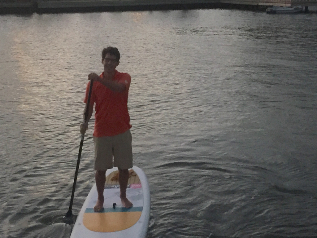
Last paddle in St Lucia
This five day passage is the first leg in our trip to Australia. It would have been cheaper and quicker to buy two first class airline seats, but this will be a lot more fun.
I feel a bit more pressure than average passage for a few reasons. Firstly, we have joined a rally with other boats and this creates more rules and timelines. I will get used to it over time. Secondly, we are going on a L O N G trip. It is 12,500 from St Lucia to Australia. In the past 2 years we have sailed 12,400 miles so we will be under sail many of the days. About 2,100 hours or 86 days of sailing in the next year. Good news is we have a kind forecast for our trip to Colombia.
Gail has cooked up a storm so we have eight frozen dinners (Chili, Baked Ziti, Lentil and Chicken Couscous x 2). We plan on inviting some fish over for dinner as well. We found some new invitations at the hardware store earlier this week.
-

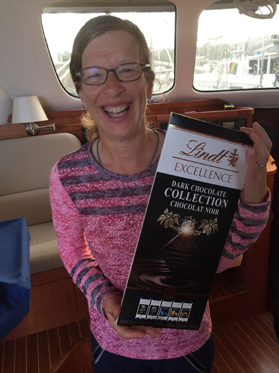
- Gail overruled me on these
-

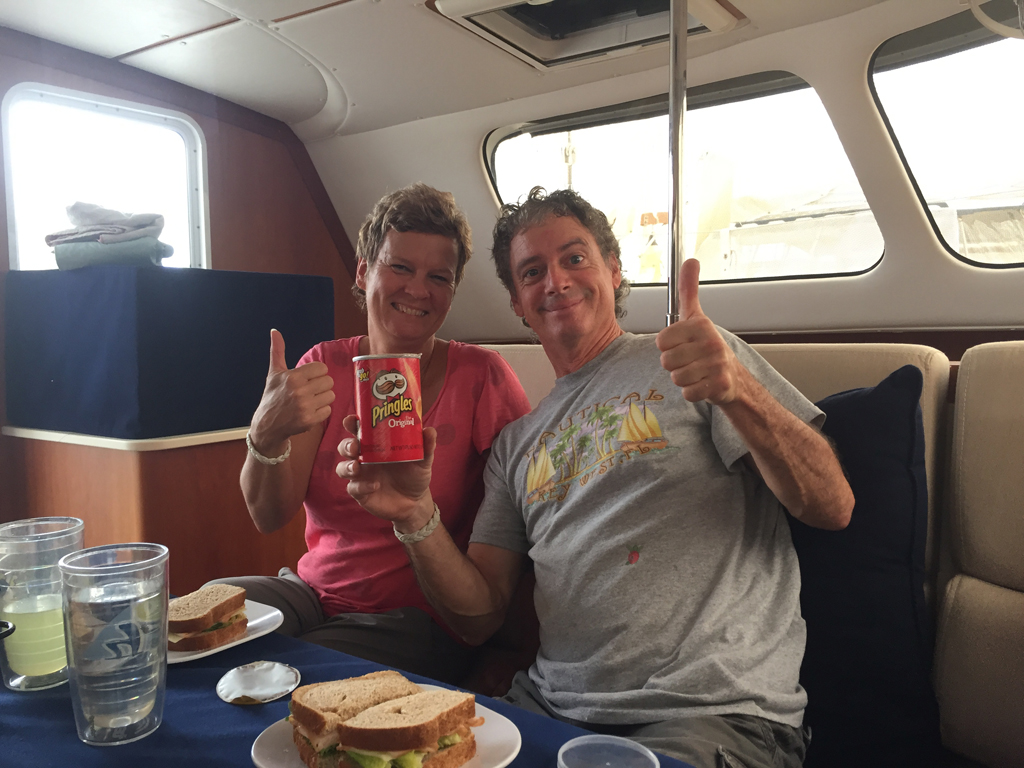
- Thank you Beth for the Pringles
-
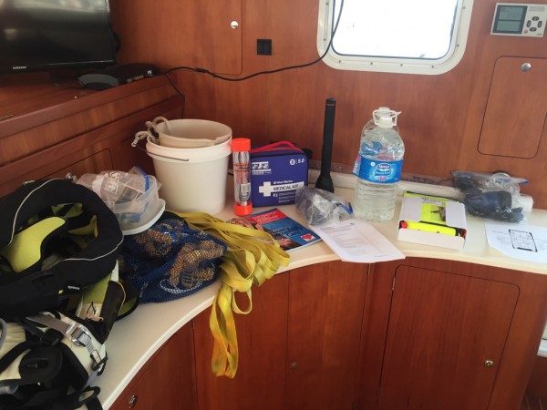
- Safety Equipment Checks

-
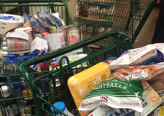
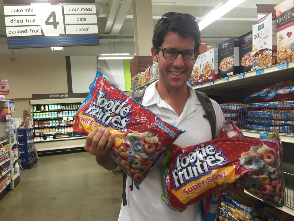
- Another Trip to the Grocer
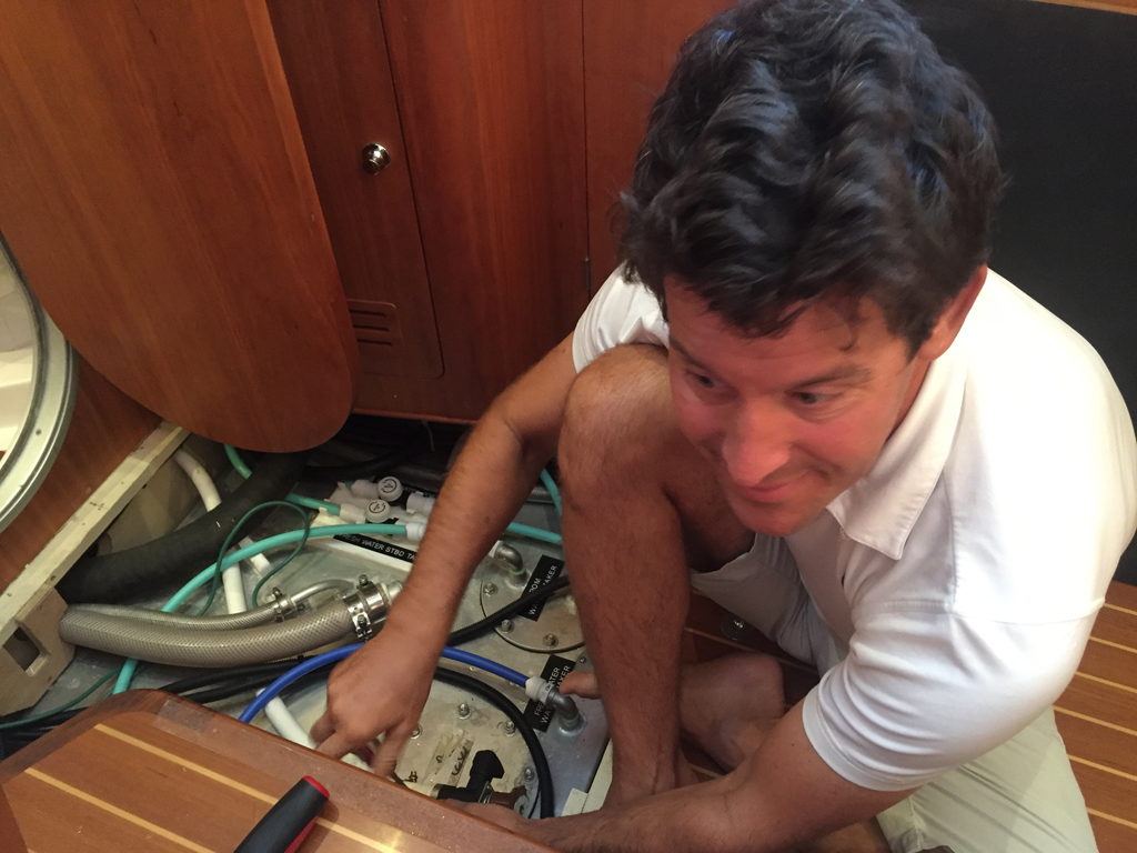
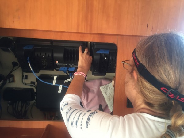
Over the past few weeks, we have readied Two Fish for the Pacific. The engines were gone over with a fine tooth comb and had their share of fixes. Every filter has been changed. Every system tested. Oil changed. Even a wood squeak was removed from port forward. The stuck fuel filter on the genset was changed and the leaky gasket on the governor was replaced.
-

- Minor Repairs
-

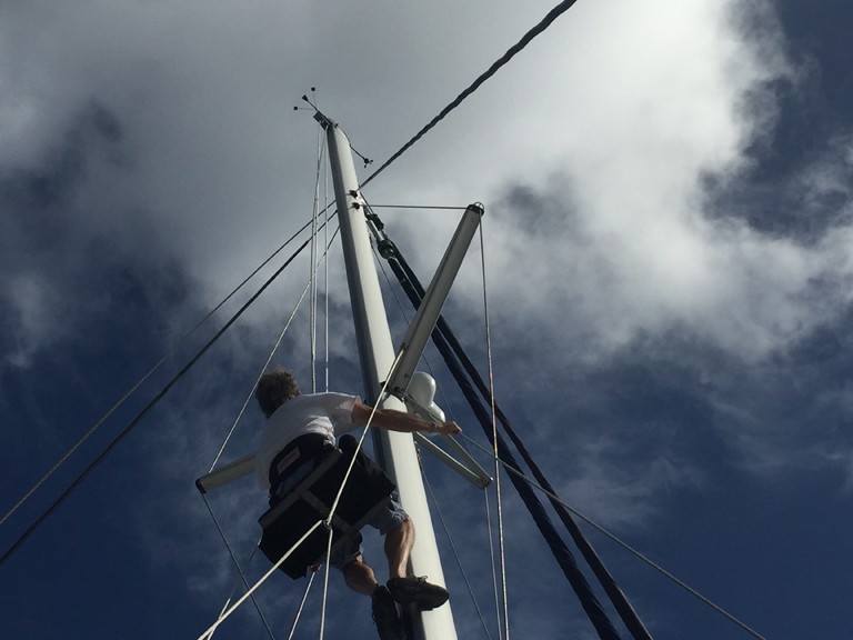
- James checks out the mast
-
- Gail does her bit

-
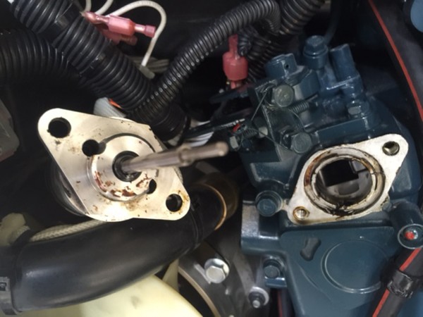
- Gasket Replacement

In addition to our usual chartplotters, we have collected a few more resources for navigation:
1) We have downloaded Google Earth for offline use for our entire trip. It takes up about 25 gigabytes of room. It has good spots and some weak spots. We use the app Tallon on the PC to download regions. Our files seem to work only on Windows 8.1.
2) We have many great tracks from other boats. We load these gpx files onto our chartplotter and into Google Earth.
3) We have made some of our cruising guides into raster charts that I can use on the tablet. I use SeaClear II and Map Cal to create these charts. We are trying to buy a tablet holder to keep near the helm.
We will write more about our navigation as we progress through our route.
-
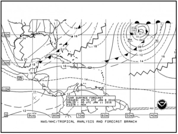
- Weather Report

-

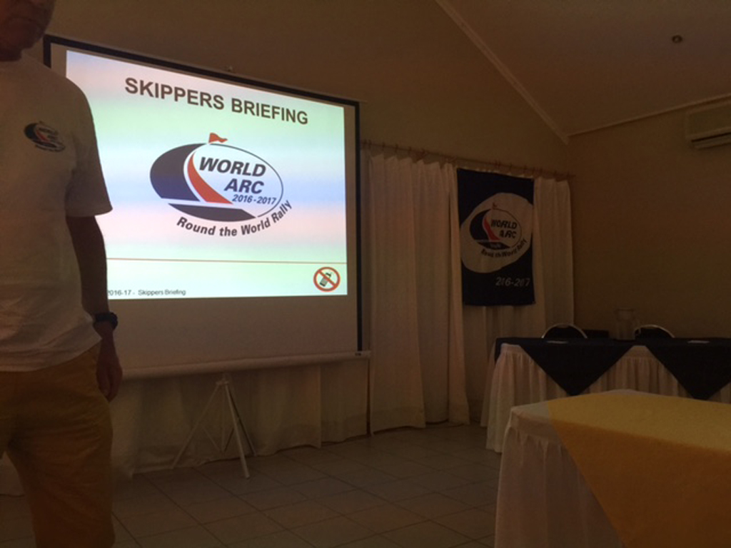
- Skipper’s Briefing
-
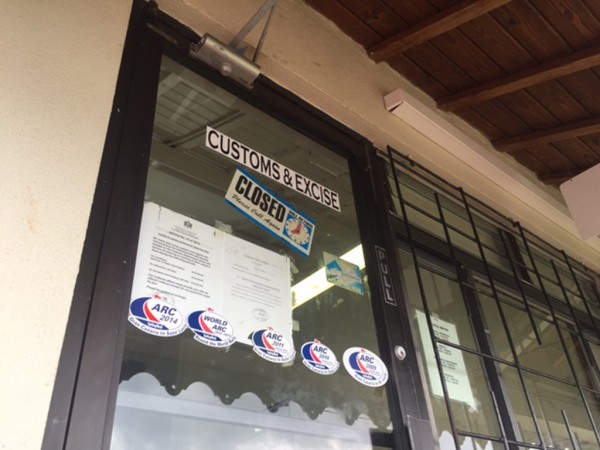
- Check Out?

The ARC group (our rally) is still feeling its way. Some boats are veterans of sailing in rallies, others are getting ready for their first big passage and others, like us, are loners trying to adjust to the pace. We will find our stride, but for now I have to bite my lip a few times. Tonight is a leaving party and by morning I will be at sea where I belong. The rally has a start line, which I expect will create some high blood pressure. I am not sure how many boats know the racing rules, so I will try not to win the start.
2 Responses to Day Minus One