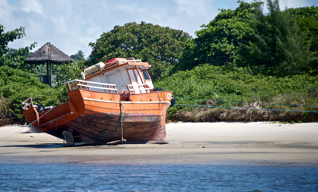
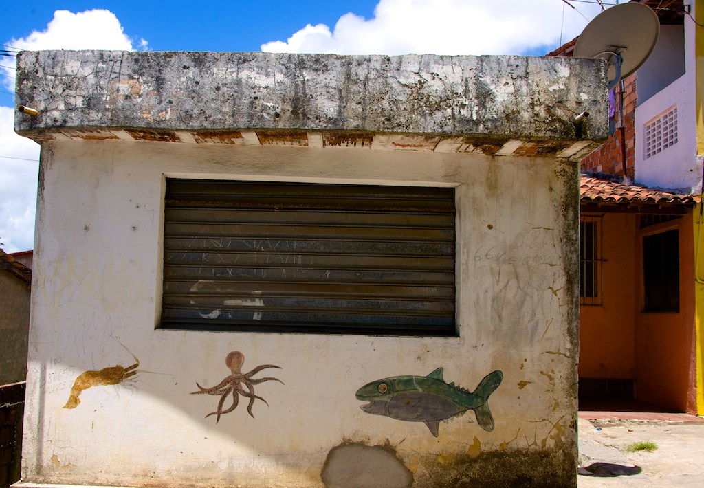
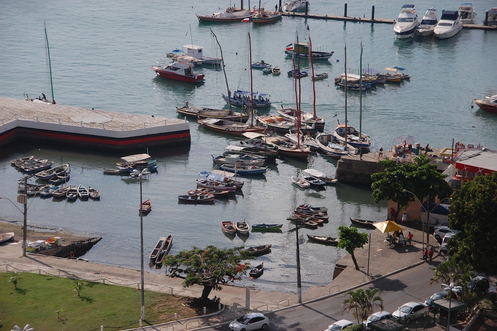
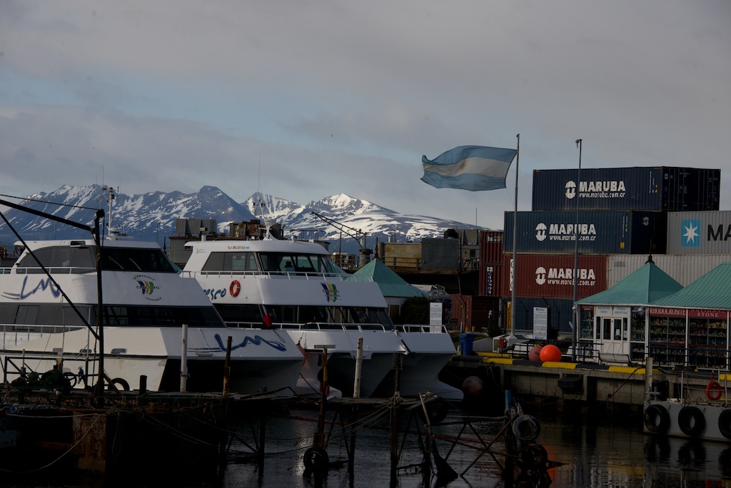
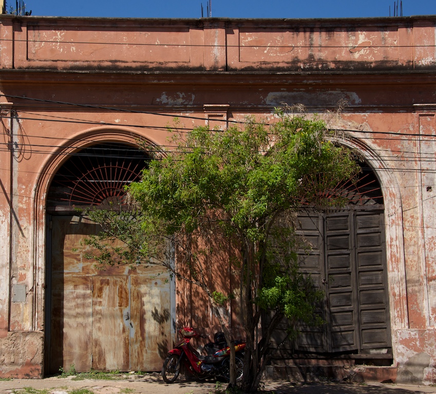
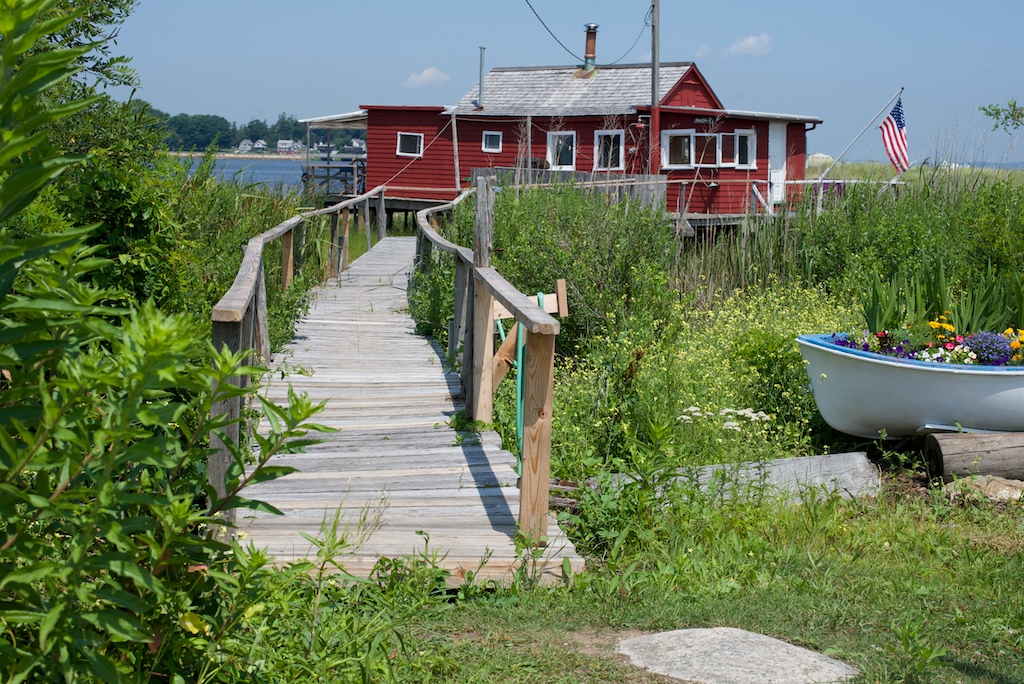
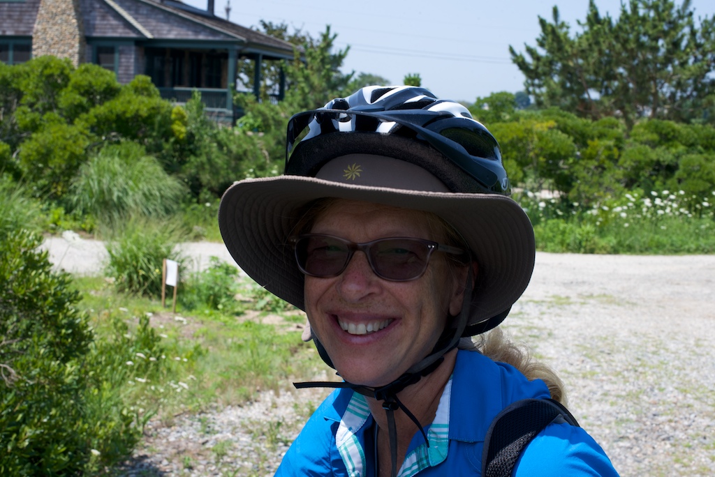
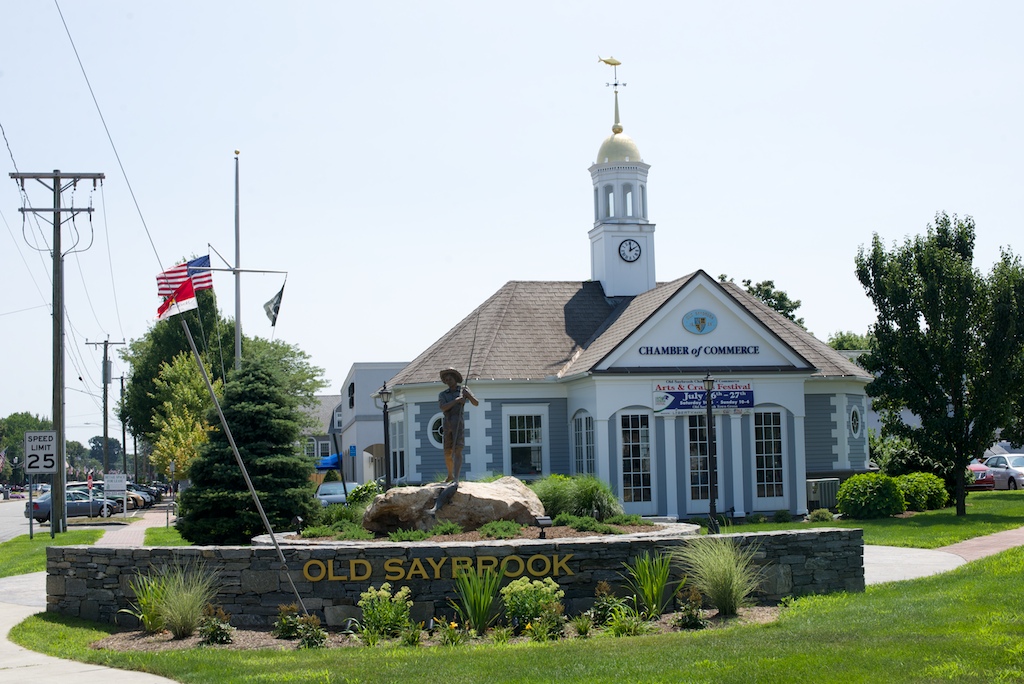
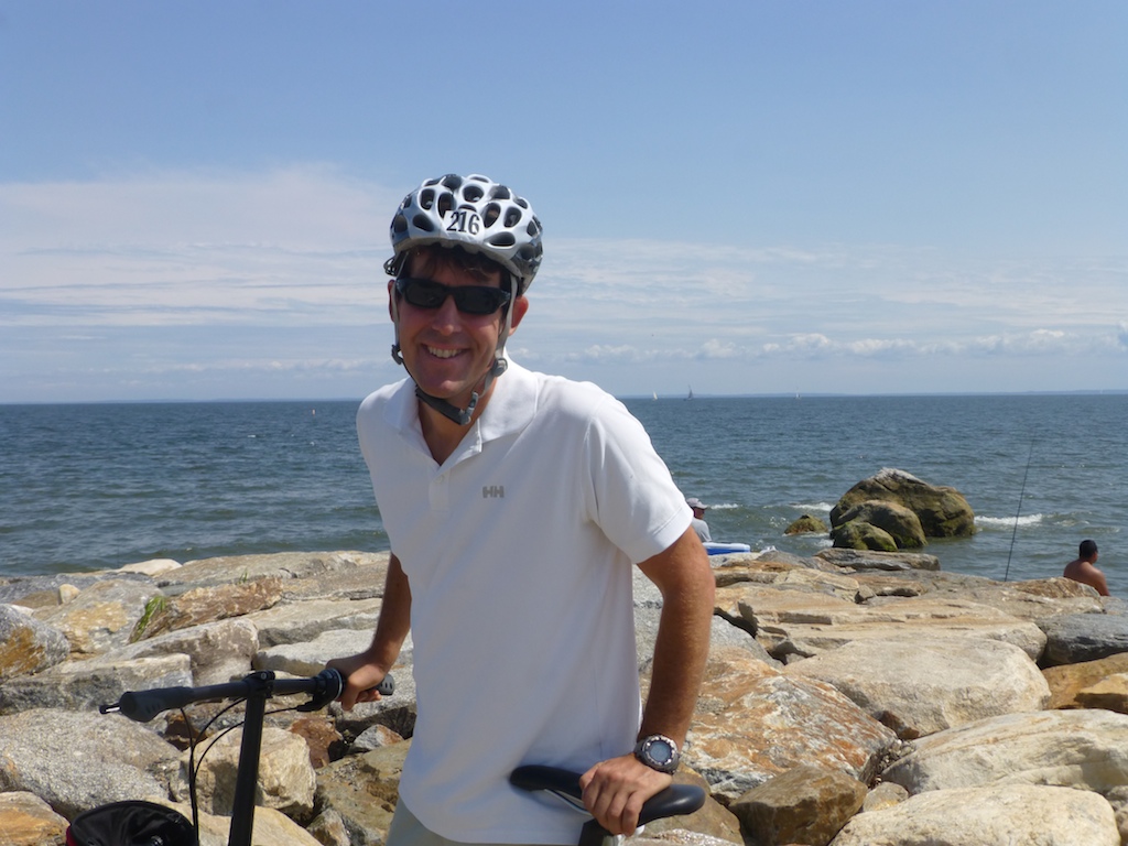
Except for requisite visits to Mystic Seaport, Eastern Connecticut has always been a long stretch of I95. I hardly ever thought beyond the highway railings. So, when we took a bike ride around Saybrook Point, it opened my eyes to the wonderful towns that can be found along the way. The houses, waterfront and town were picturesque and our lunch at the Monkey Farm Cafe made us feel like locals. However, after suffering a crushing defeat in mini-golf, Jason decided it was time to leave town.
-
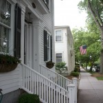
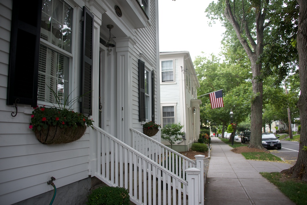
- Not all houses are McMansions
-
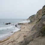
- Beach in Old Saybrook

-

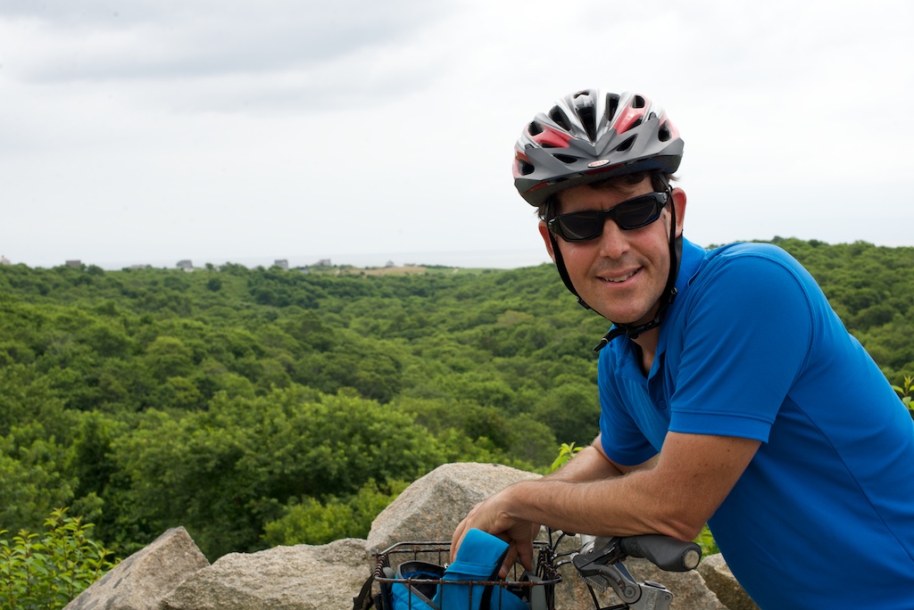
- Biking
-
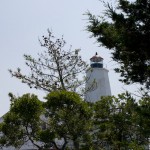
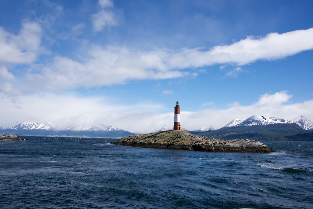
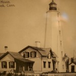
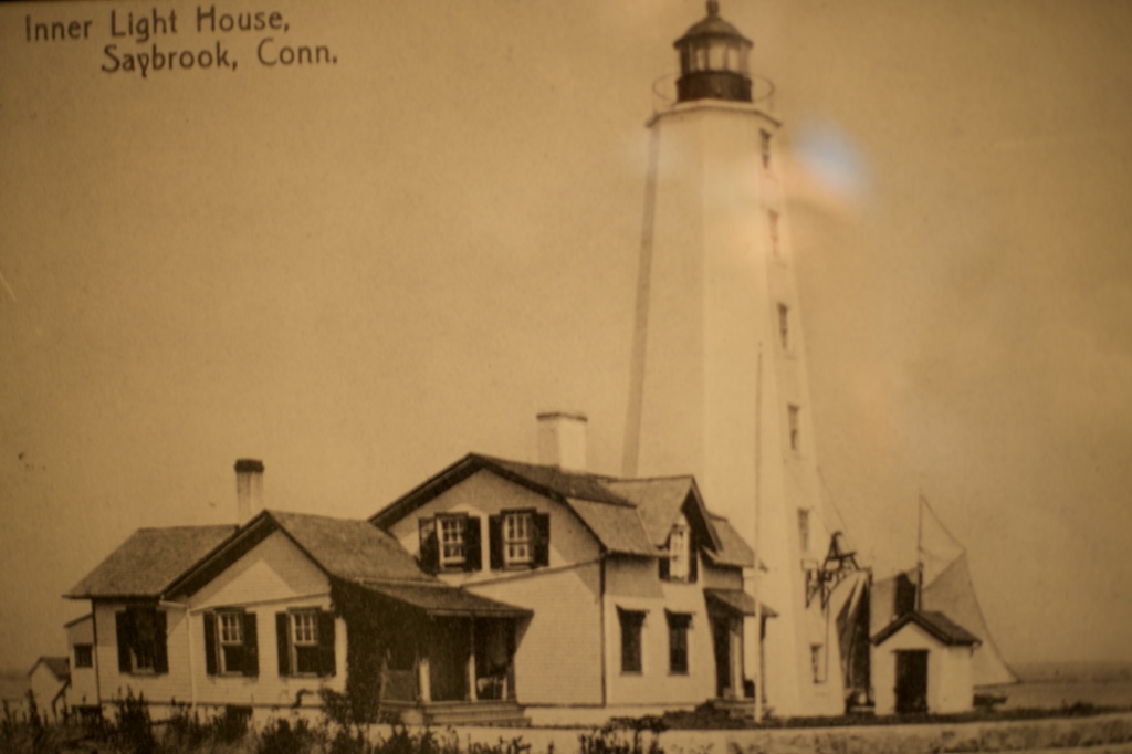
- Why do we always pedal to lighthouses?
-
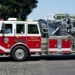
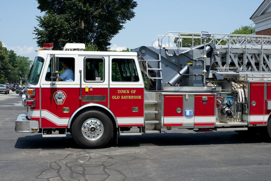
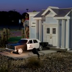
- Volunteer unit
-
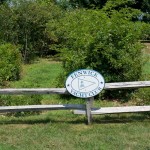
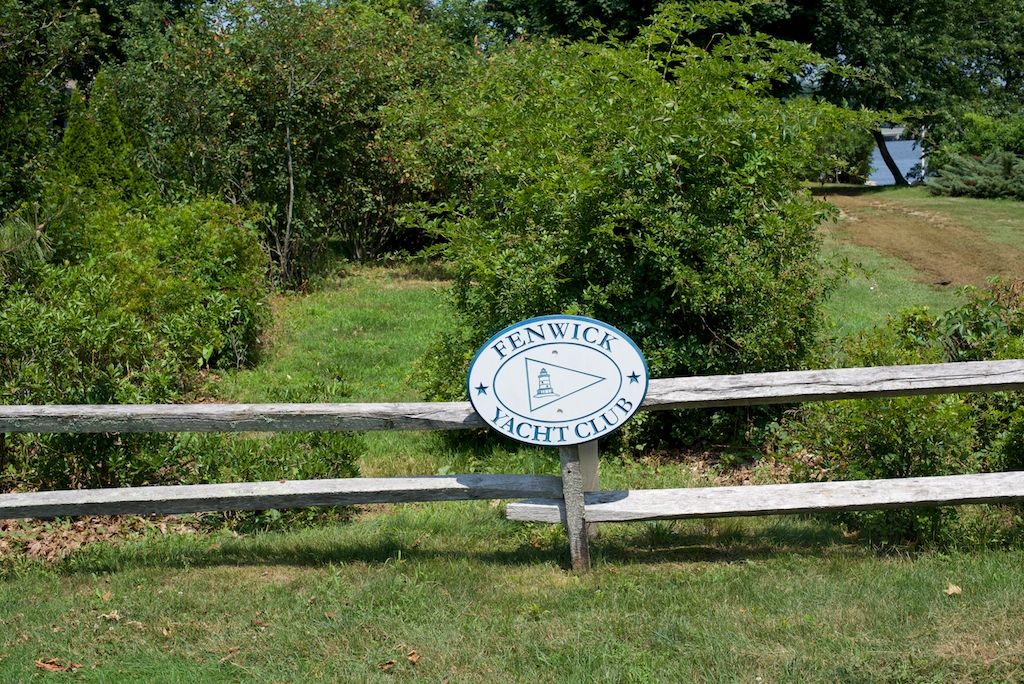
- Small clubs dot the east coast
-
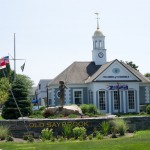
- There really was a chamber of commerce
-
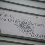
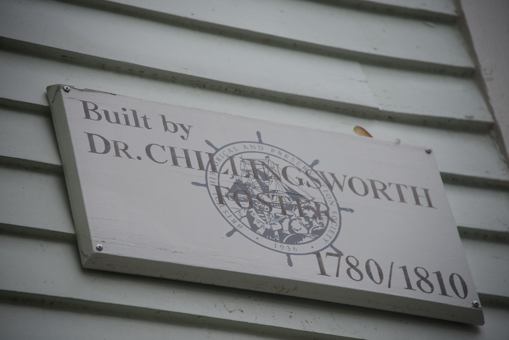
- Early Days of Old Saybrook, Founding location of Yale
-
- Cop car lights flashed

-
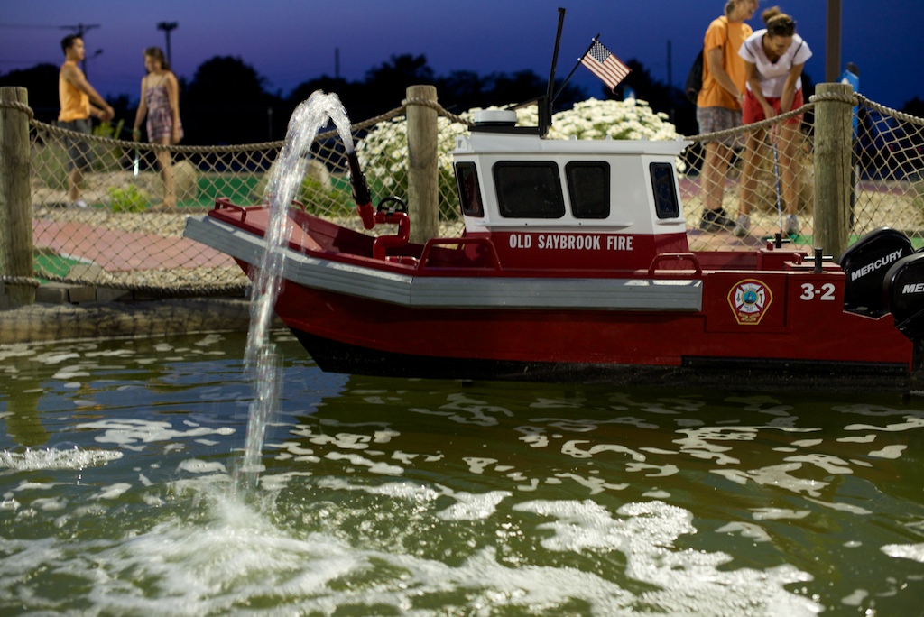
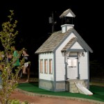
- Favorite mini golf hole
-
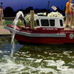
- Great Mini Golf
-
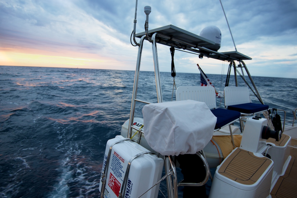
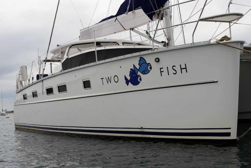
- Our home
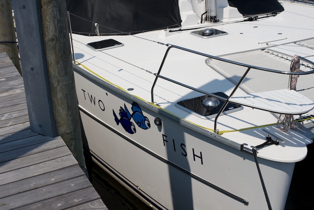
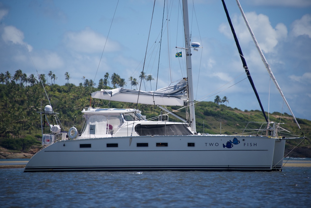
Earlier, when Jason had asked me where I wanted to sail to in the Sound, I didn’t hesitate before giving my response-Block Island. I had only heard of sailboat races around the Island and it was remote enough to seem exotic. My goal was reinforced by the serene pictures in cruising guides of boats moored in the Great Salt Pond. Our friends graciously offered us their mooring ball for a few days, and our course was set. We arrived in 20 knot winds-where did that sheltered harbor go?- and I scoured the mooring field for their ball. Hmmm, this is going to be tight. We used our much practiced technique of stern step pick-up but a combination of me being slow to bring the line in after attaching, Jason being slow to rotate the boat, and the brisk wind, resulted in the line getting caught under Two Fish. There we were, line caught in a rudder and Jason trying to steer with no rudders and one engine. Somehow he got clear of other boats and I sacrificed my fleece arm to the pond and freed the line. Attempt number two went much more smoothly and soon we were attached at both bow cleats and cleaning up the boat. After a visit from Beth and Dave, we headed to shore for a beachside concert and family picnic.
-
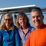
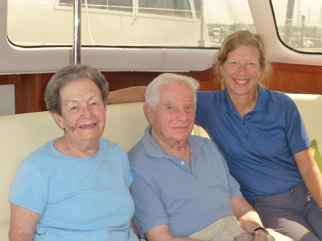
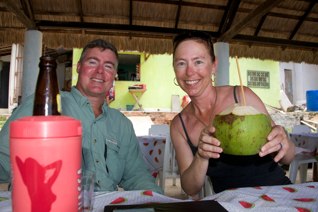
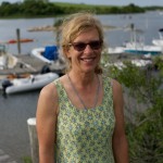
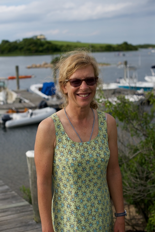
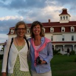
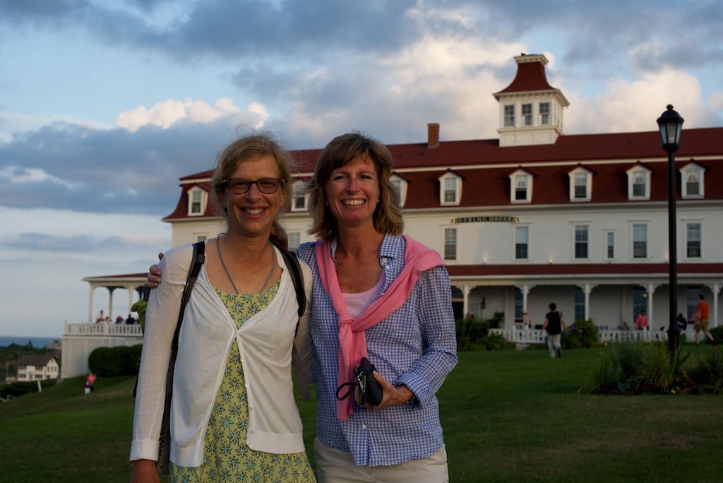
- Gail, Beth and Dave

-
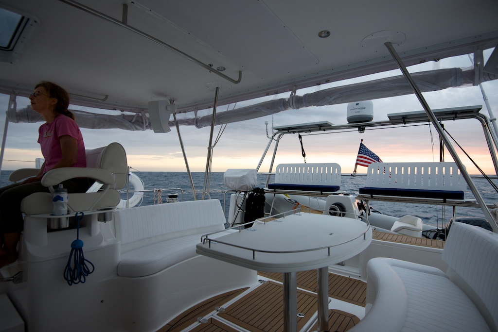
- Master cabin view

-
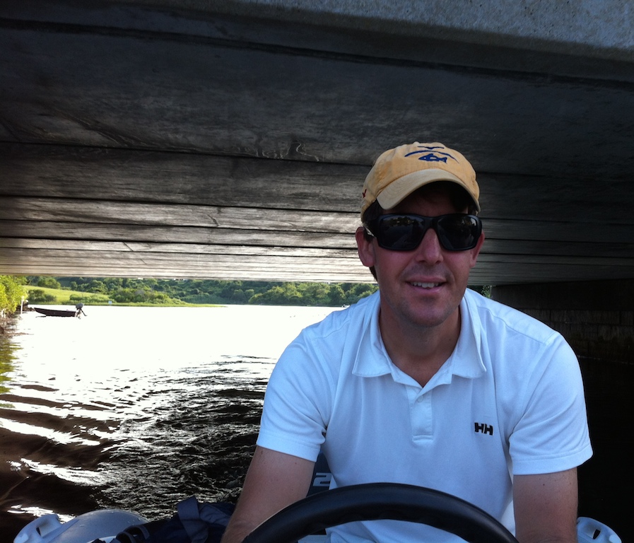
- One fish passing under a VERY low bridge
-
- Restaurant The Oar, a must

-
- Oar’s dinghy dock is popular in July

-

- Top of the Tandem bike
-
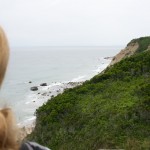
- Tandem bike stopped for a view
-

- Bike rental place said this path was good to ride
-

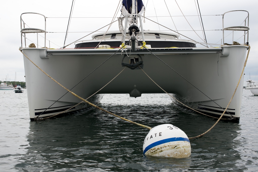
- The mooring ball that gave us trouble on a calm day
-
- This darn mark was in our way during the mooring ball failure, excuse?
-

- Two Fish resting while we head to shore
-
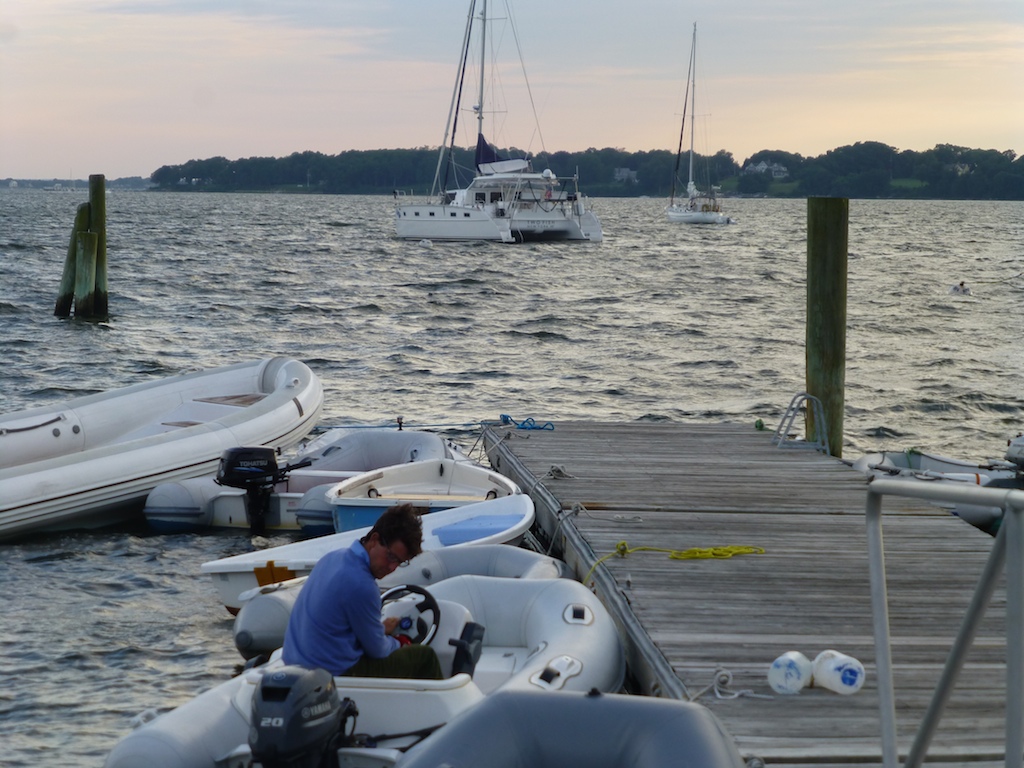
- Leaving the parking lot (aka dinghy dock)
-
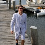
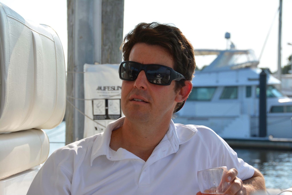
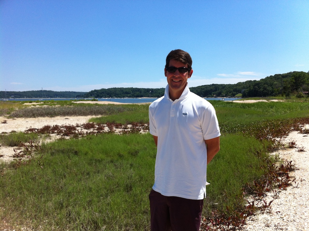
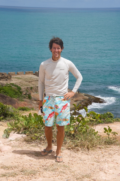
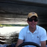
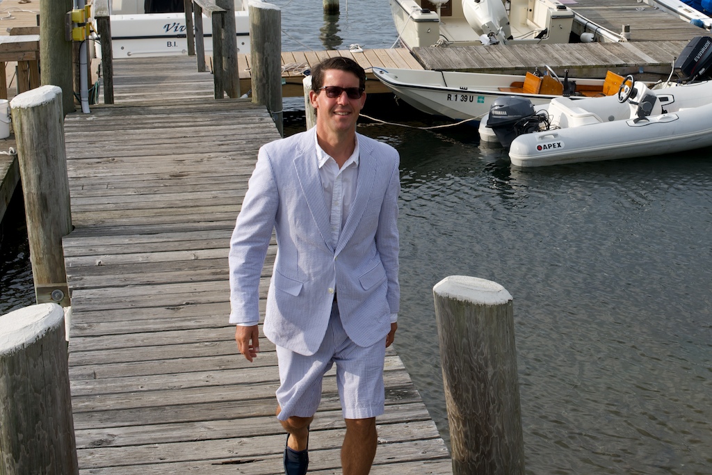
- Jason in his only dress outfit
-
- Gail and Beth ready for sundowners, dancing would follow
-
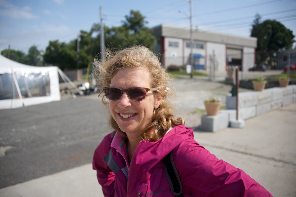
- Gail eager to return to sea?
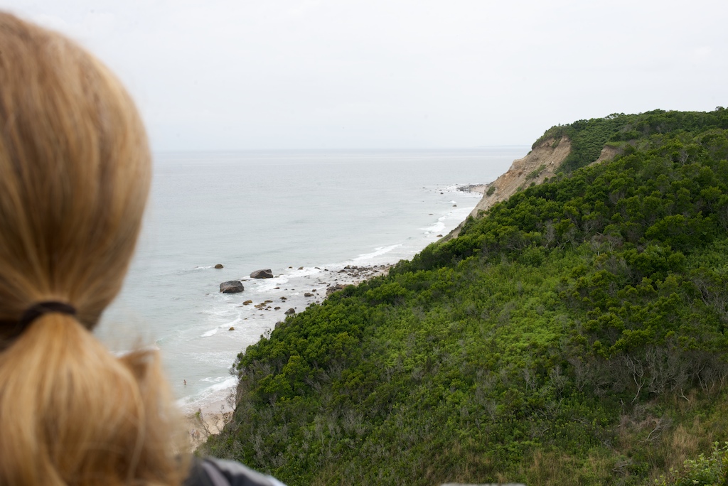
Having heard that it is a great island to bike, we stopped by the bike store, where we were greeted by the surly teenage attendants-the only time that I have visited a bike store where the people could care less about biking. We also decided that being only 44 feet away from each other all day wasn’t stressful enough, so we rented a tandem. Since there is just one chain being driven by the cranks, we needed to constantly communicate to keep from being hit in the ankles with flying pedals, while adjusting our positions, or trying to glide (me) on the downhill. We really enjoyed our time there, but Two Fish keeps moving and we headed to Narragansett Bay and the Herreshoff Museum in Bristol-free admission with your mooring fee!
-
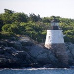
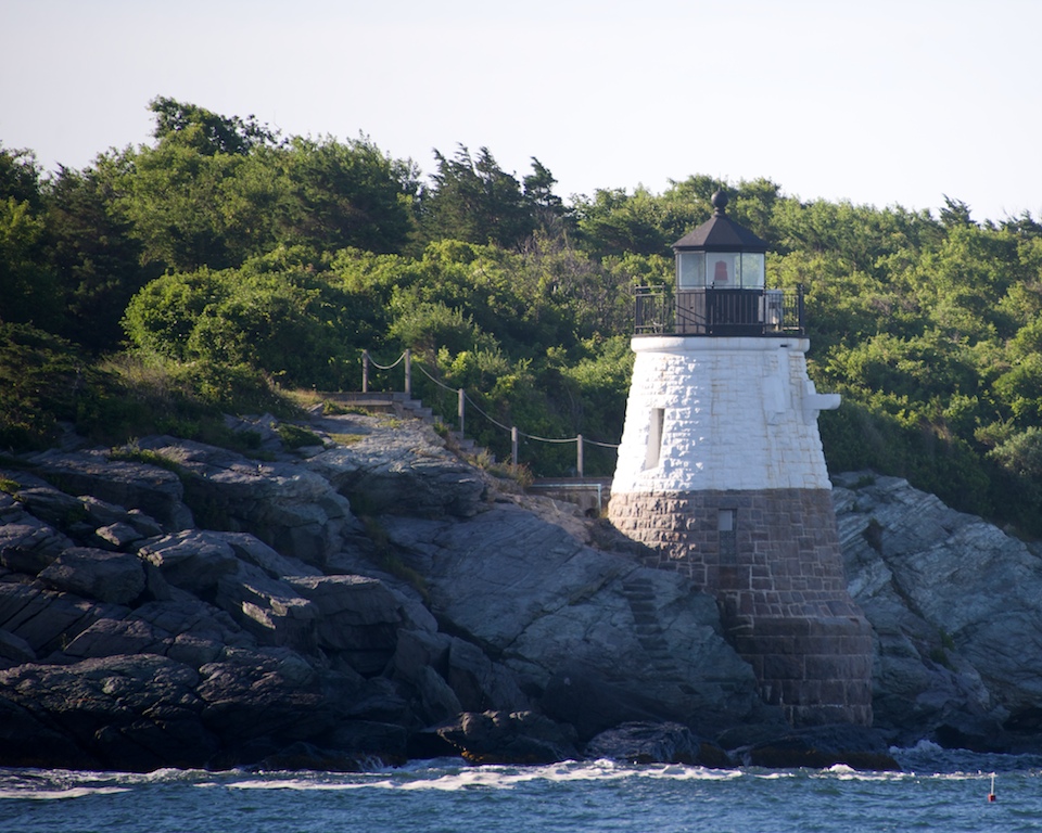
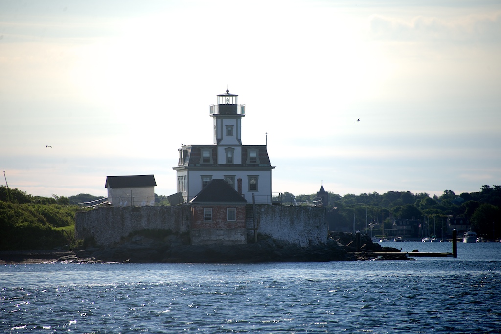
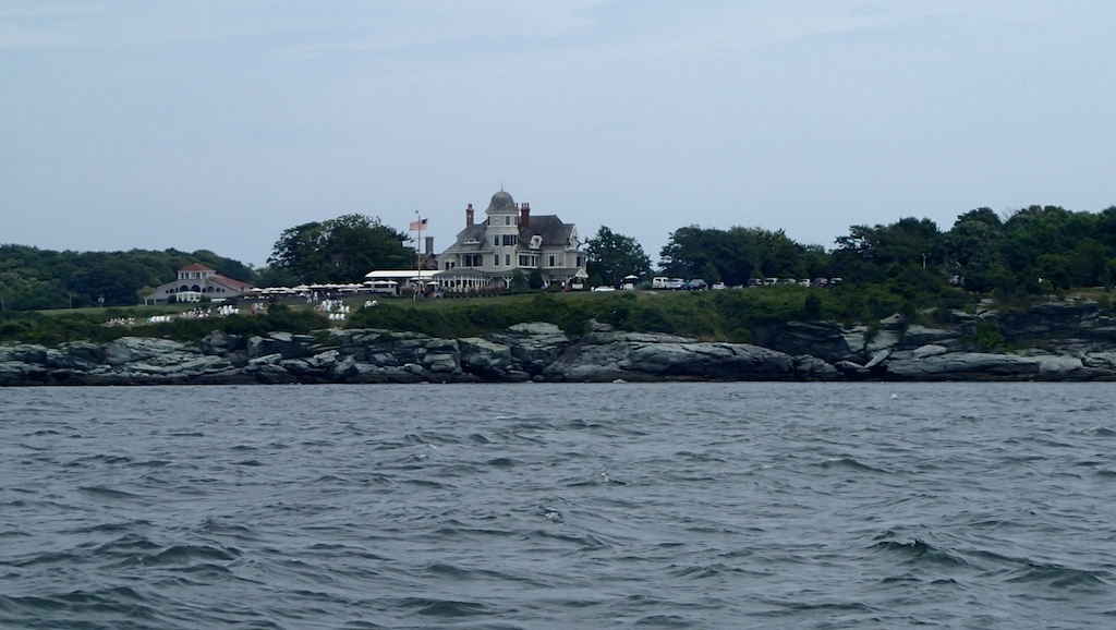
- Newport Lighthouse
-
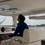
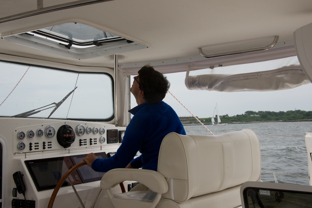
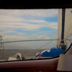
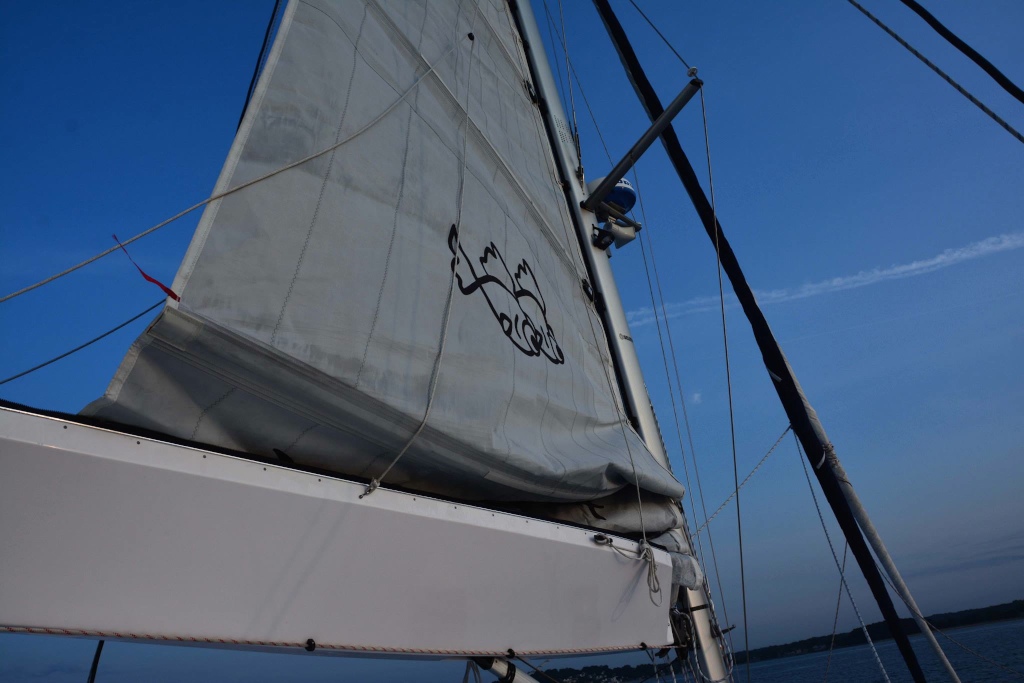
- Checking downwind trim
-
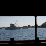
- Passing by Two Fish
-
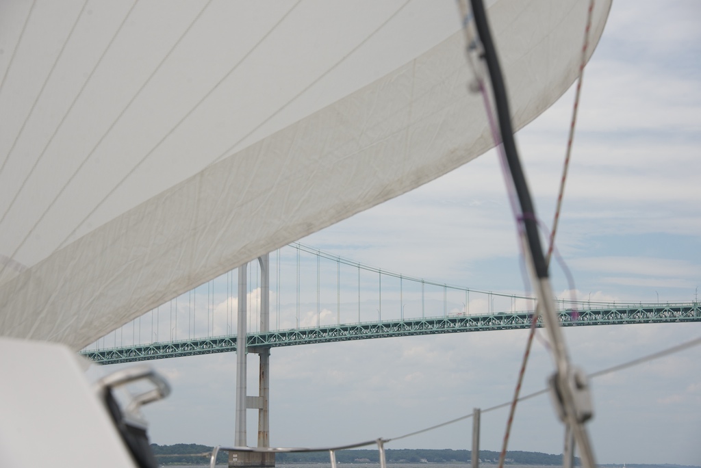
- Two Fish passing under Newport bridge
-
- Chute resting on deck

-
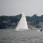
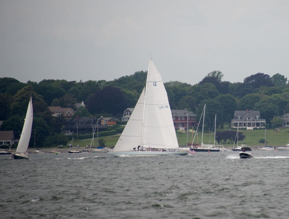
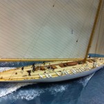
- Old Americas Cup yacht
-

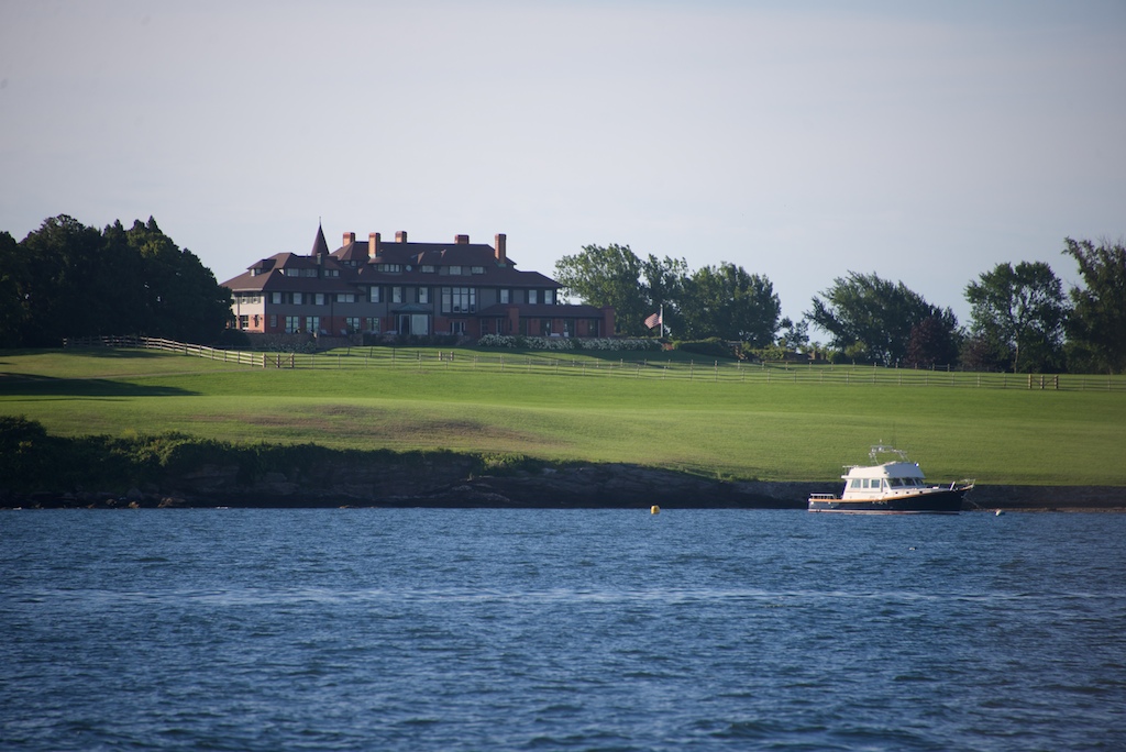
- Newport
-
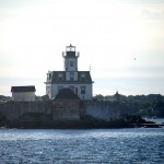
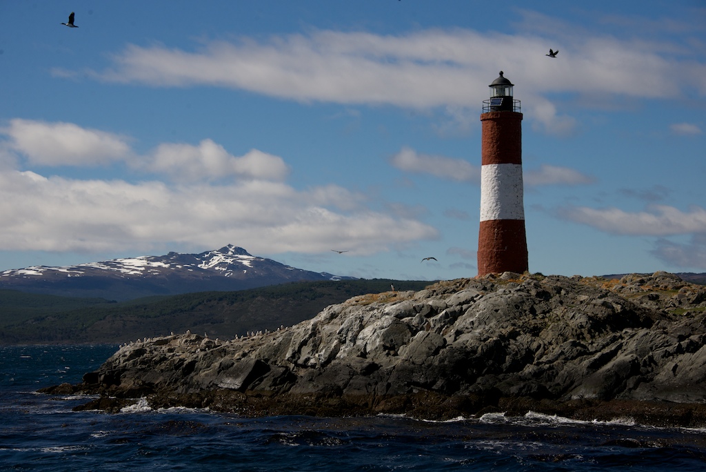
- Lighthouse
-
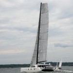
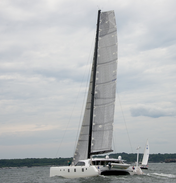
- Fancy cat passes Two Fish
-
- One fish and Two Fish in Bristol
-
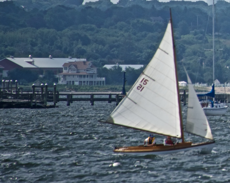
- Stiff breeze
-
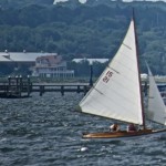
- Old wooden boat in a breeze
-
- History of Bristol
-
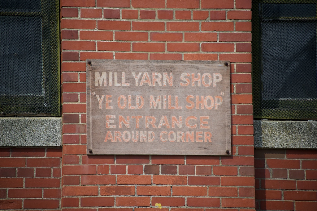
- Common signage in Bristol
-
- Americas Cup Museum

-
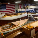
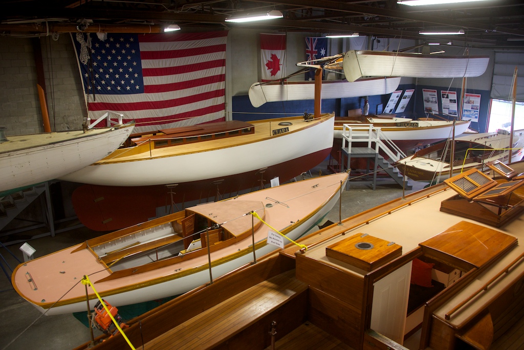
- Herreshoff Museum
-

- Ready to explore
-
- First town to celebrate July 4th
-

- Bike riding again
-
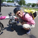
- Gail doing bike repair – Frozen chain
-
- Grabbing a elevated view
-
- Wonderful Views
-
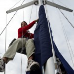
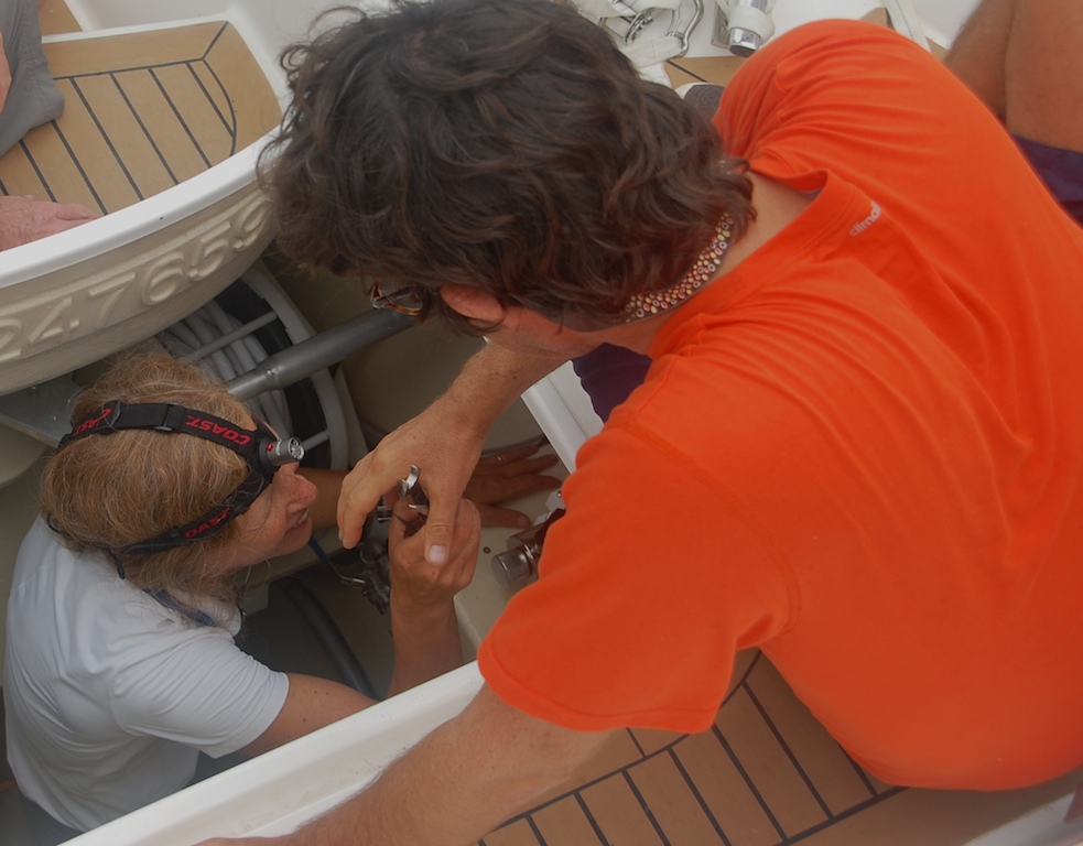
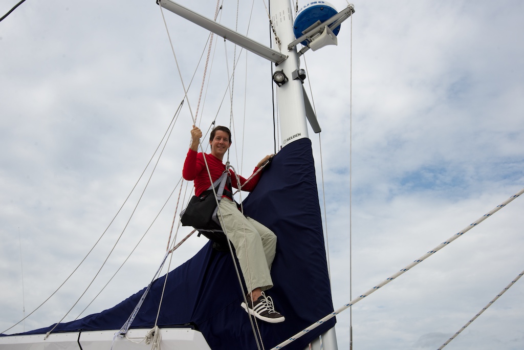
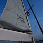
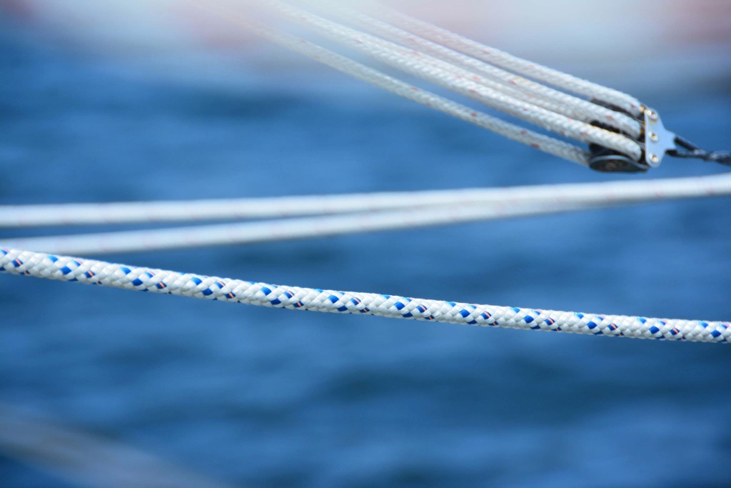
- Fixing a twisted main halyard

Once again, we “discovered” a wonderful small town with revolutionary-era houses and a fantastic lunch spot. At the Beehive Cafe, they serve a great breakfast burrito, only to be surpassed by my post-dinner ginger ice cream at Gray’s Ice Cream. Since the Beehive was closing for renovations, we decided to move on and headed towards Pocassett Bay, sailing away from the Long Island and Rhode Island Sounds and into Buzzards Bay. Next stop: Cape Cod Canal.

Pocassett
Some bonus photos taken by our friend Elaine.
-
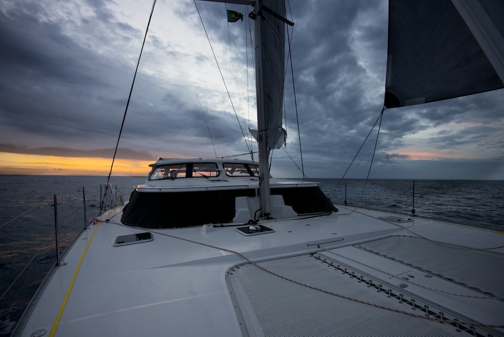
- Main up at dawn
-
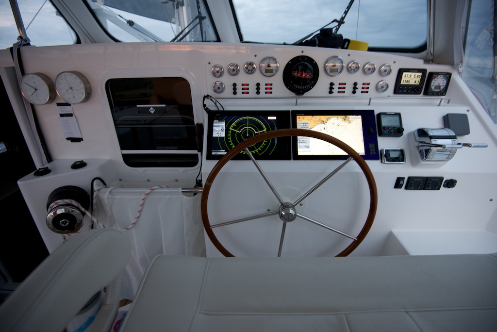
- Engine gauges
-
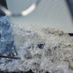
- Bow wake
-

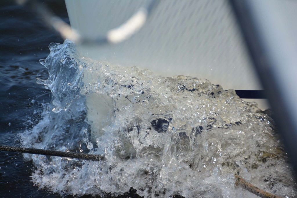
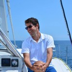
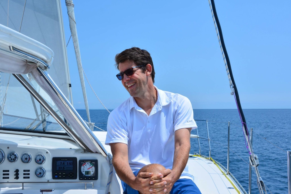
- Crew
-

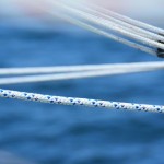
- Sheet
-
- Laughing at the light air
-
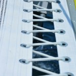
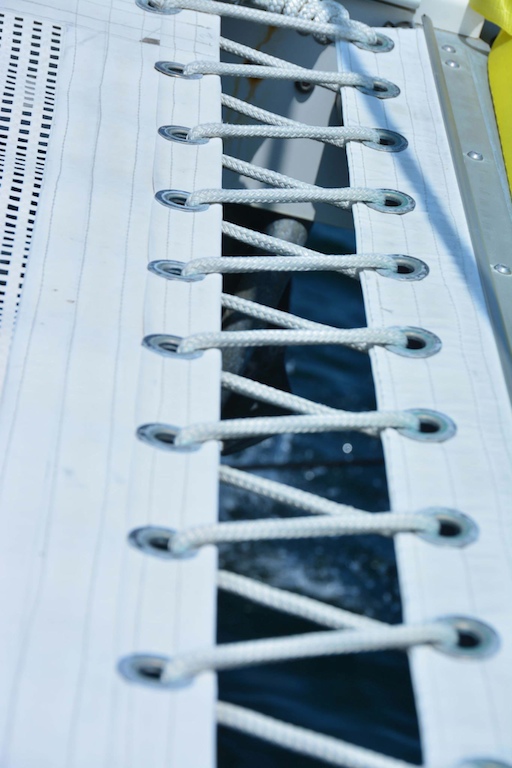
- Tramp webbing
-
- Sprit control
-

- Celebrate day sail
-
- Pontificating again