November 2016
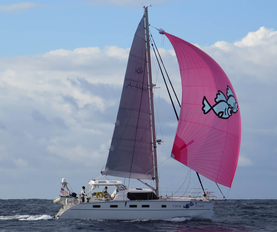
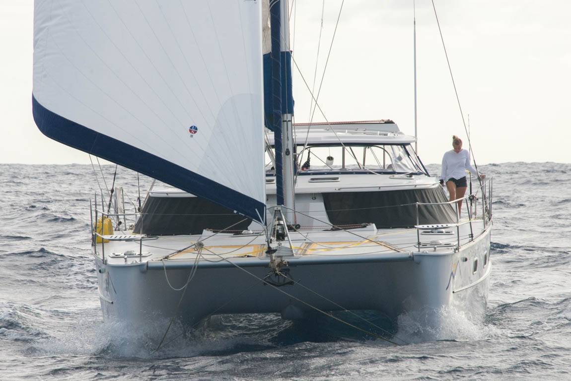
I was jogging north, while enjoying the waves lapping at the edges of Brisbane’s Moreton Bay, when my music was interrupted by a phone call from a Swedish sailing friend. He needed help. Thankfully, sailors’ favors usually involve low level advice, not organ transplants. He needed crew for the six hundred nautical mile trip from Brisbane to Sydney. I was just about to do that same passage on Two Fish. We both had thought our yacht shippers were leaving from Brisbane, only to have the departure city changed to Sydney. I agreed to help my friend, so in a short period of time, I would travel the Eastern Coast of Australia on Two Fish and repeat the passage on my friend’s fifty-two foot Baltic.

One Fish off for professional servicing
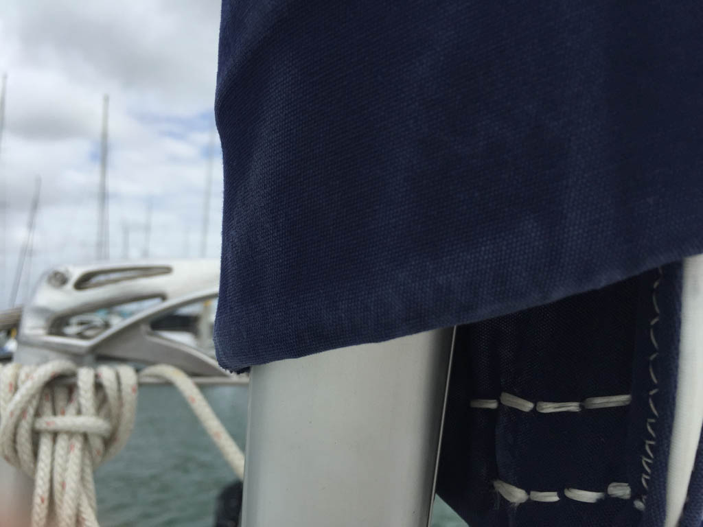
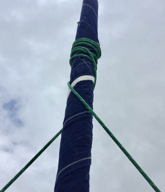
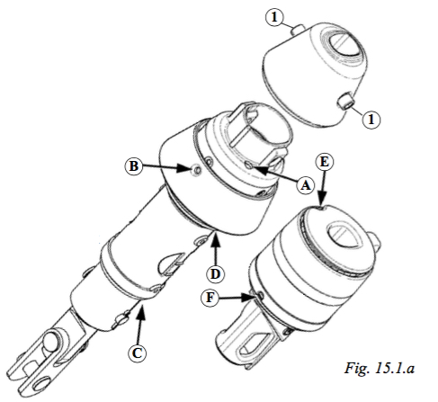
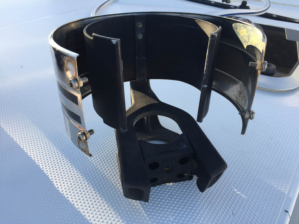
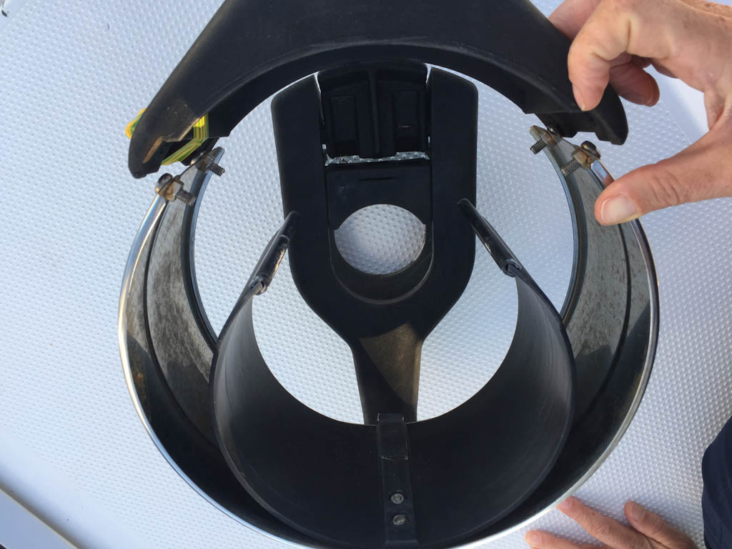
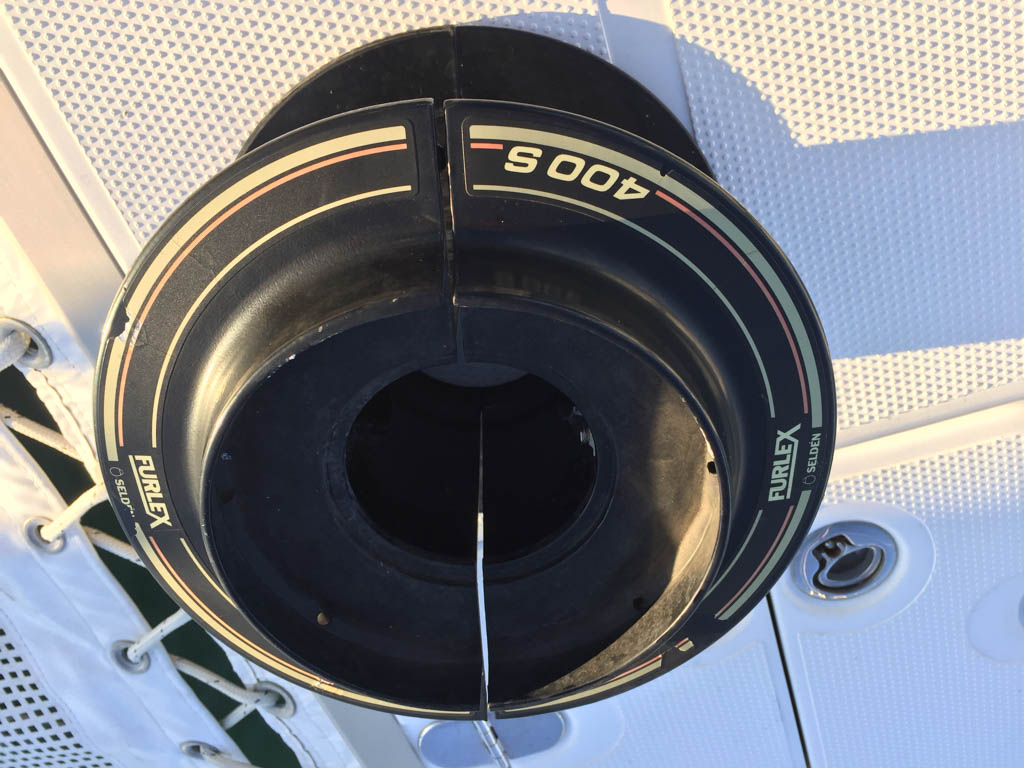
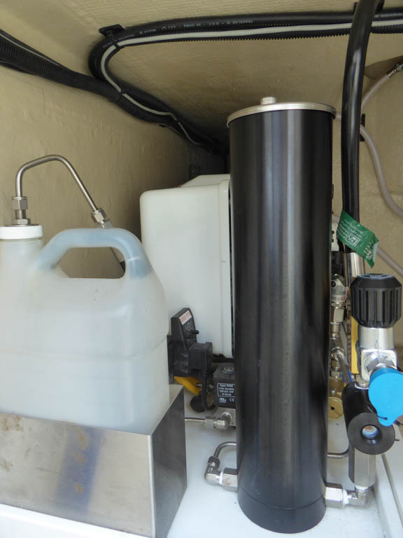
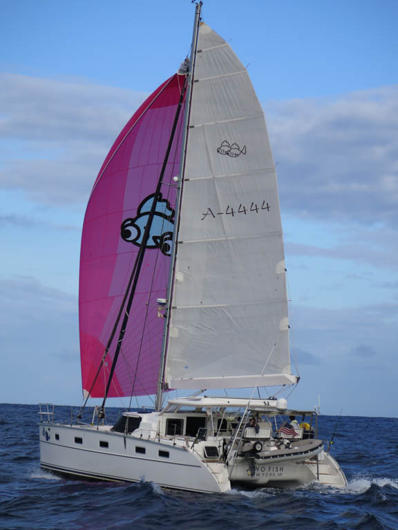
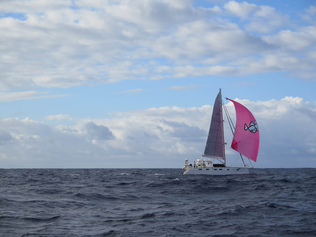
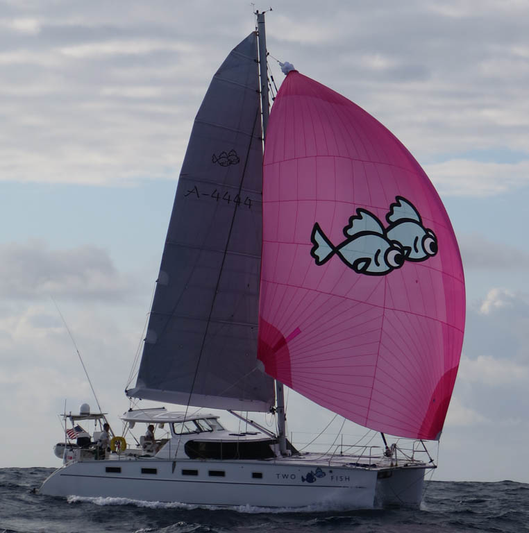
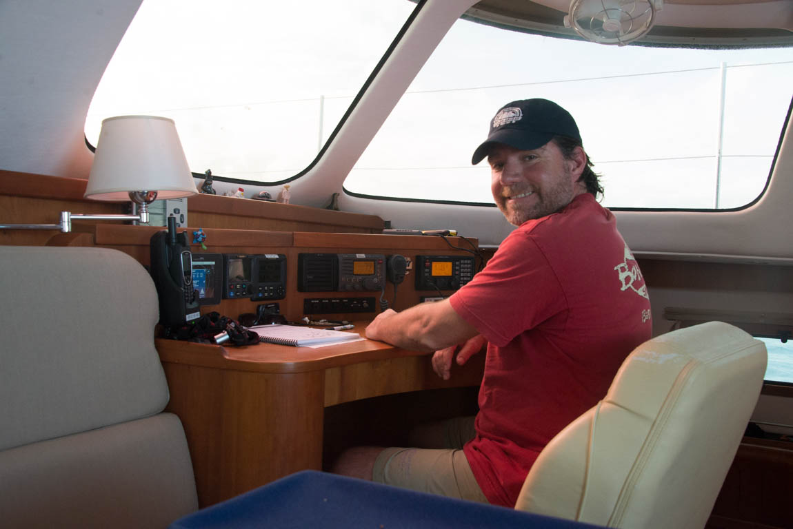
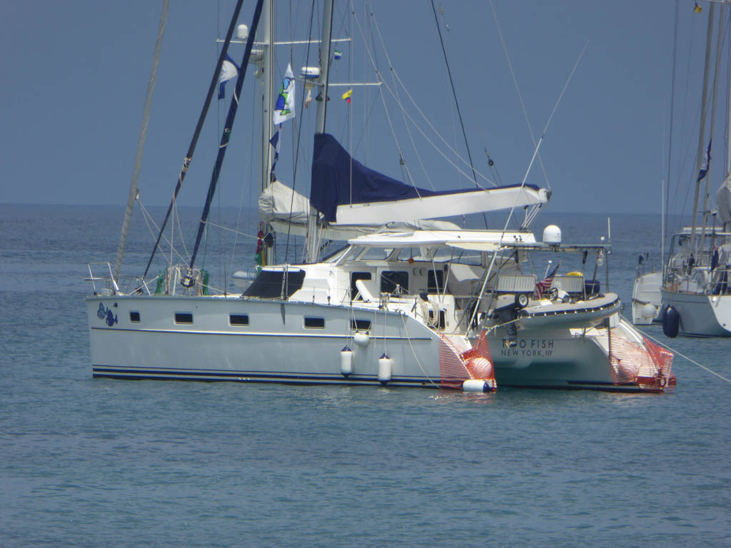
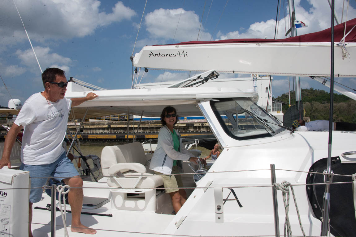
In late October 2016, we finally left the RQYS dock for our trip to Sydney. Two Fish was clearly smiling as she had had a post-Pacific refit. Some new running rigging, a professional rig tune, sail maker attention to the suite of canvas, new flat screen autopilot, new engine exhaust elbows, new covering for the nav station chair, some cosmetic touch ups, power -leaned cushions, software updates for navigation systems, oil and filter changes, complete servicing for the dinghy, greasing of the furling gear and winches, varnished wheel, new navigation and courtesy lights, and an elbow-bending amount of scrubbing. Two Fish was ready for another ocean crossing.
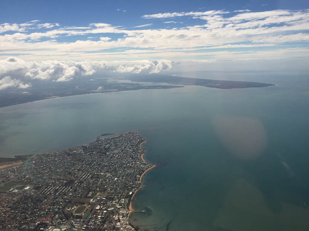
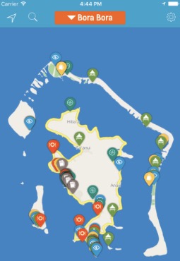
Moreton Bay
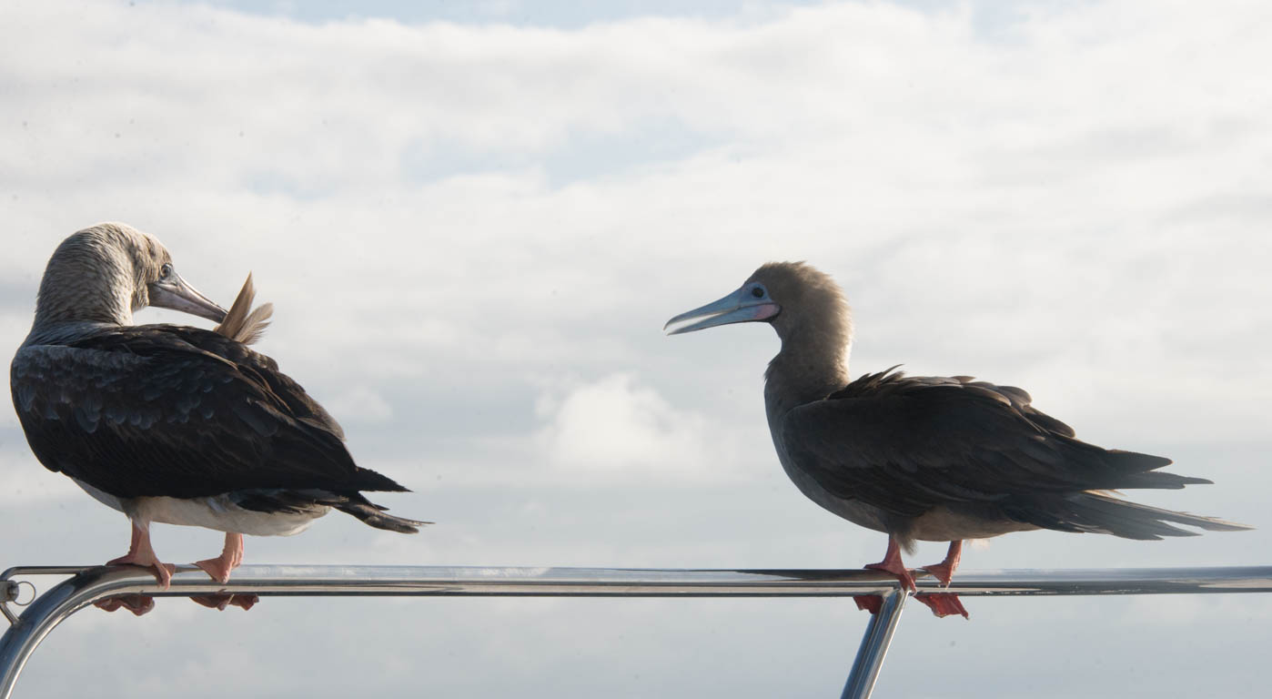
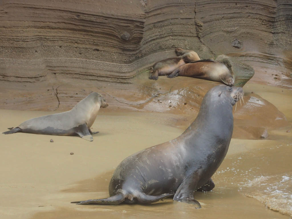
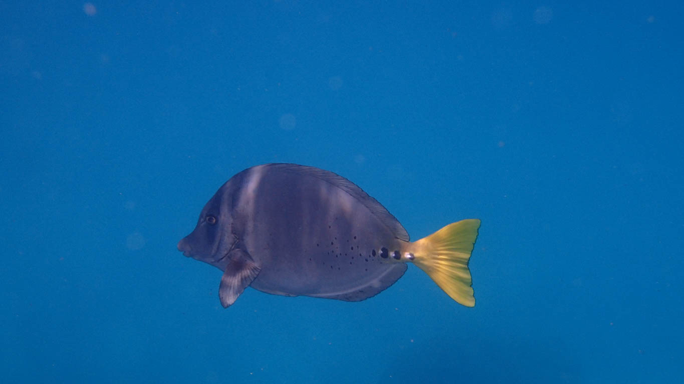
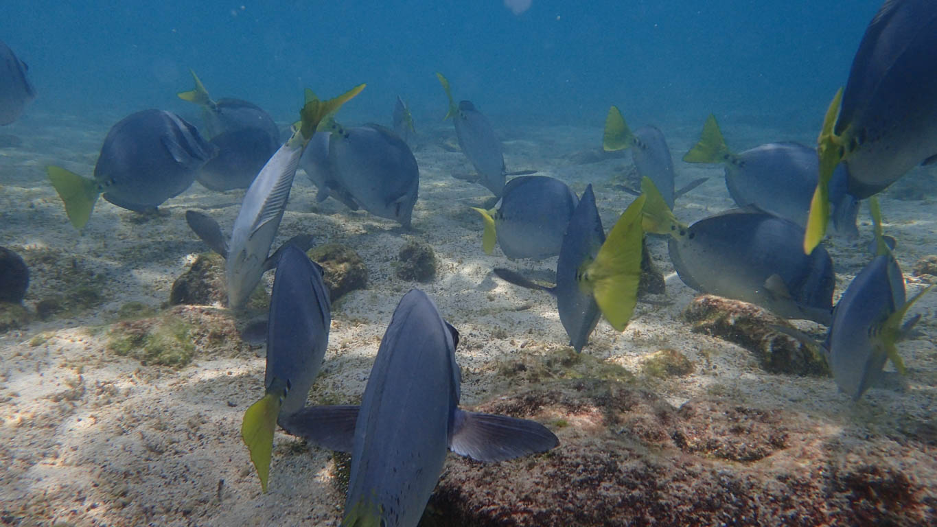
Moreton Bay is full of marine life, despite being the backyard for Brisbane, a major city. Humpback whales use the calm waters to train their young calves. Vast quantities of blue jellyfish with symmetric tentacles arrive on a north wind. Locals will move the jellies by grabbing the top to avoid the stingers. Birds of many species have created homes in the shallow waters created by dredging. A few sparrows tried to nest in the boom of Two Fish. We worked hard on discouraging the birds but the best defense was raising the mainsail while out for a short trip. Moreton Bay is another spot on the coast that owes its naming to Cook; Lord Morton probably noticed the misspelling but no one else seemed to mind.

Life at RQYS
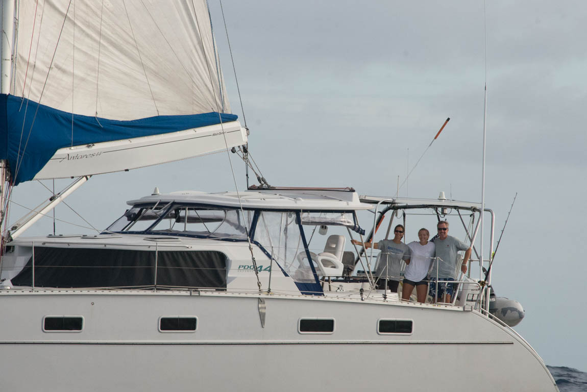
It was difficult to finally leave the Royal Queensland Yacht Squadron because Two Fish had never stood still for longer during her three year existence. The club is serious about its sailing with five members participating in the most recent Olympic games. We saw Moths foil past and Wild Oats XII (Australia’s most famous sailboat) start an offshore race in front of the club. Club members encouraged us to join Wednesday racing and to untie Two Fish and visit distant and near anchorages.
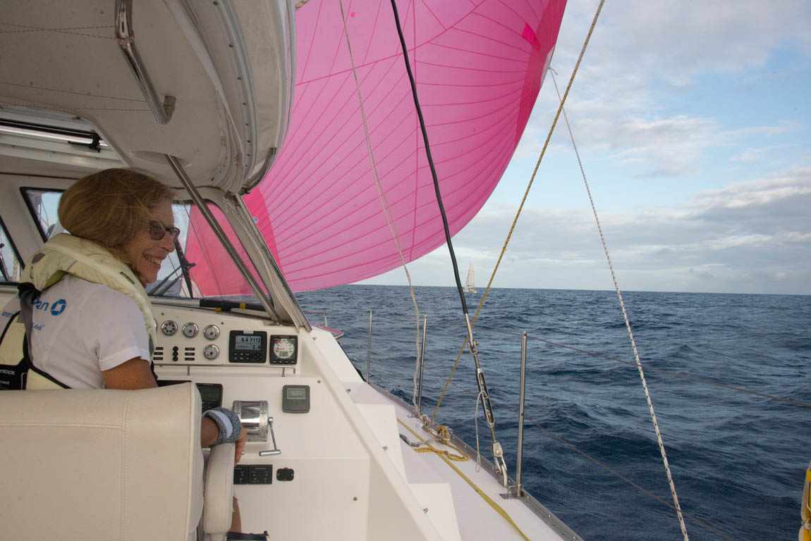
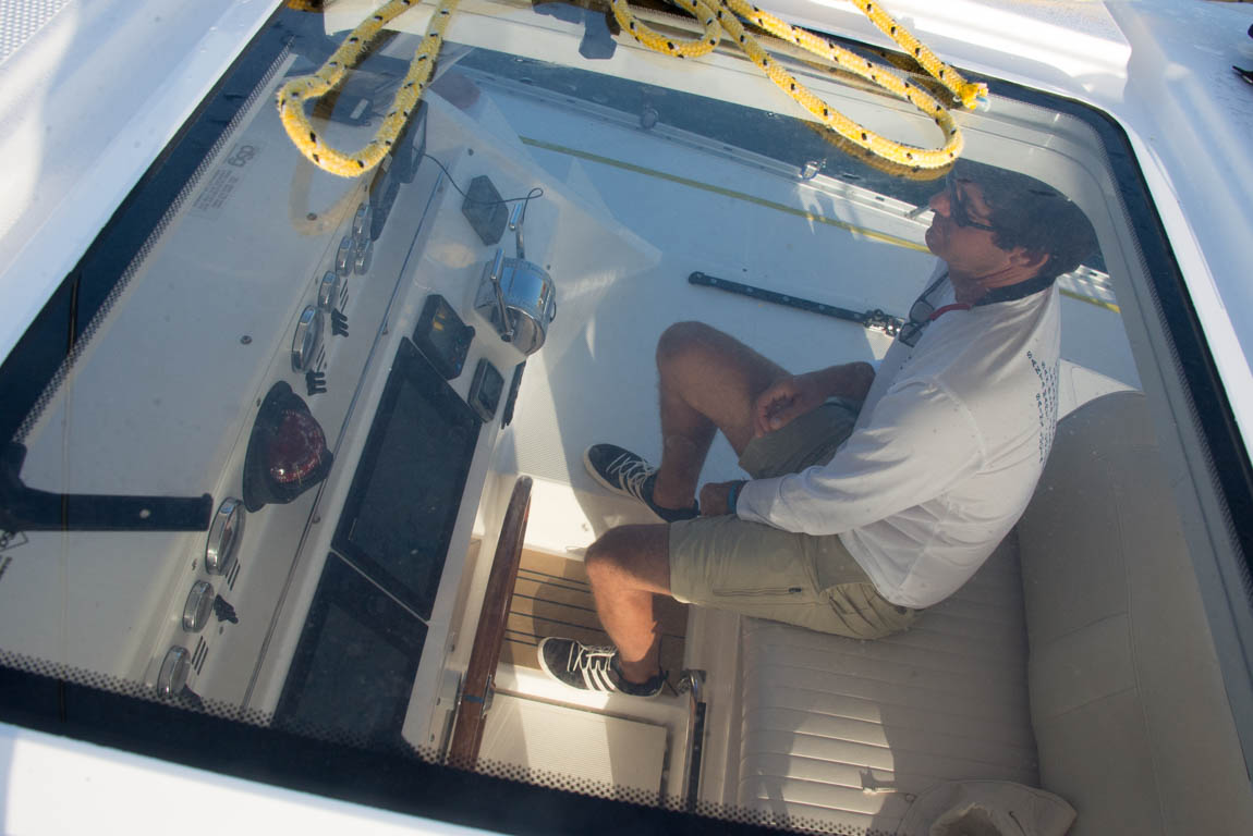
On our final departure day, the engines purred as we navigated the narrow channel to exit the yacht basin. I think of Two Fish as a two hundred foot boat. We drop our sails very early and I like plenty of sea room from other boats. I am aware of how silly I must look as Wednesday racers come darting in and out of the harbor with only small margins for error. I used to sail like that, but the miles under the keel have warped my view of being almost at the dock. I joke that we put out our fenders for docking farther offshore than the average day sailor’s voyage. Our conservative approach is driven by the fact that every dock, channel, mooring field and anchorage has been brand new to us. I miss the comfort of sailing in my home waters of New York where we would sneak behind ferries and had memorized the current’s patterns.
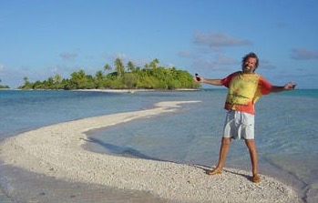
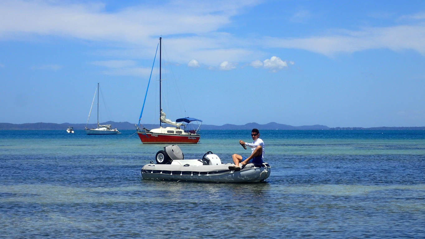
After less than a mile, the main and screecher were gently pulling our twin hulls over the small waves to Peel Island, a sand island in the southern end of Moreton Bay. We anchored the boat in the lee of the island, making it a very comfortable anchorage. We were cruising again. No Uber. No WiFi. As I lowered the dinghy, I realized hikes, swimming and explorations were back on the menu.
Peel Island
We met a local sailor who was anchored in one foot of water as he had a lift-up keel. His small red boat did not require fancy hydraulics to lift the keel, just a simple rope. For a moment I thought his anchor was a stolen lawn ornament. He had the best spot in the anchorage – a short wade and he was onshore.
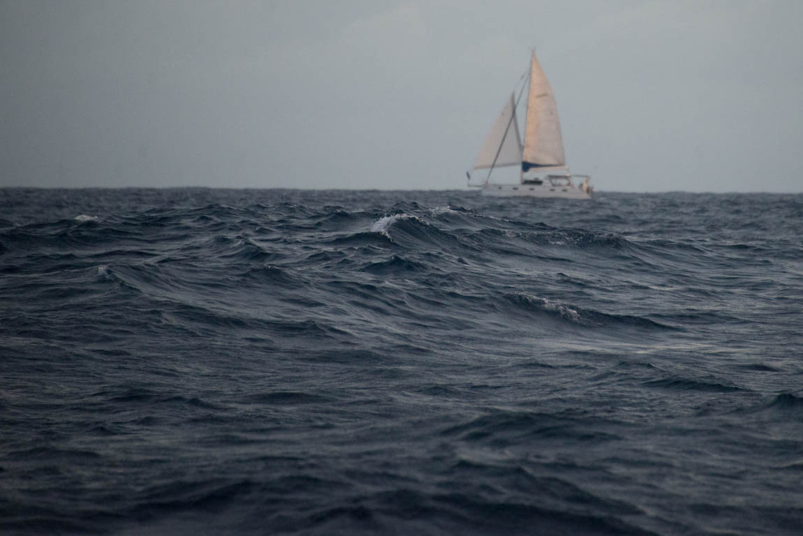
Australian weather tries to keep pace with the deadly reputation of Australian wildlife. Australia has the most deadly collection of snakes and also has experienced the most deaths in one yacht race. However, many Australian cruisers would tell me they were not brave enough to sail across the Pacific but they were comfortable circumnavigating their treacherous homeland. I was quick to inform them that I was more focused on the weather for the trip from Brisbane to Sydney than I had been for the entire Pacific Crossing. Australian weather has rough seas when the powerful ocean current transporting millions of gallons of sea water north conflicts with a strong breeze that tries to push the water back to the south. Waves start to resemble rolling hills and sailors wish they had chosen tennis as their pastime. Local sailors were bemused to find out that their trip to the southern island Tassie (aka Tasmania) was world-renowned for danger.
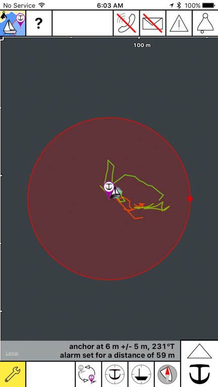
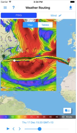
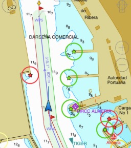
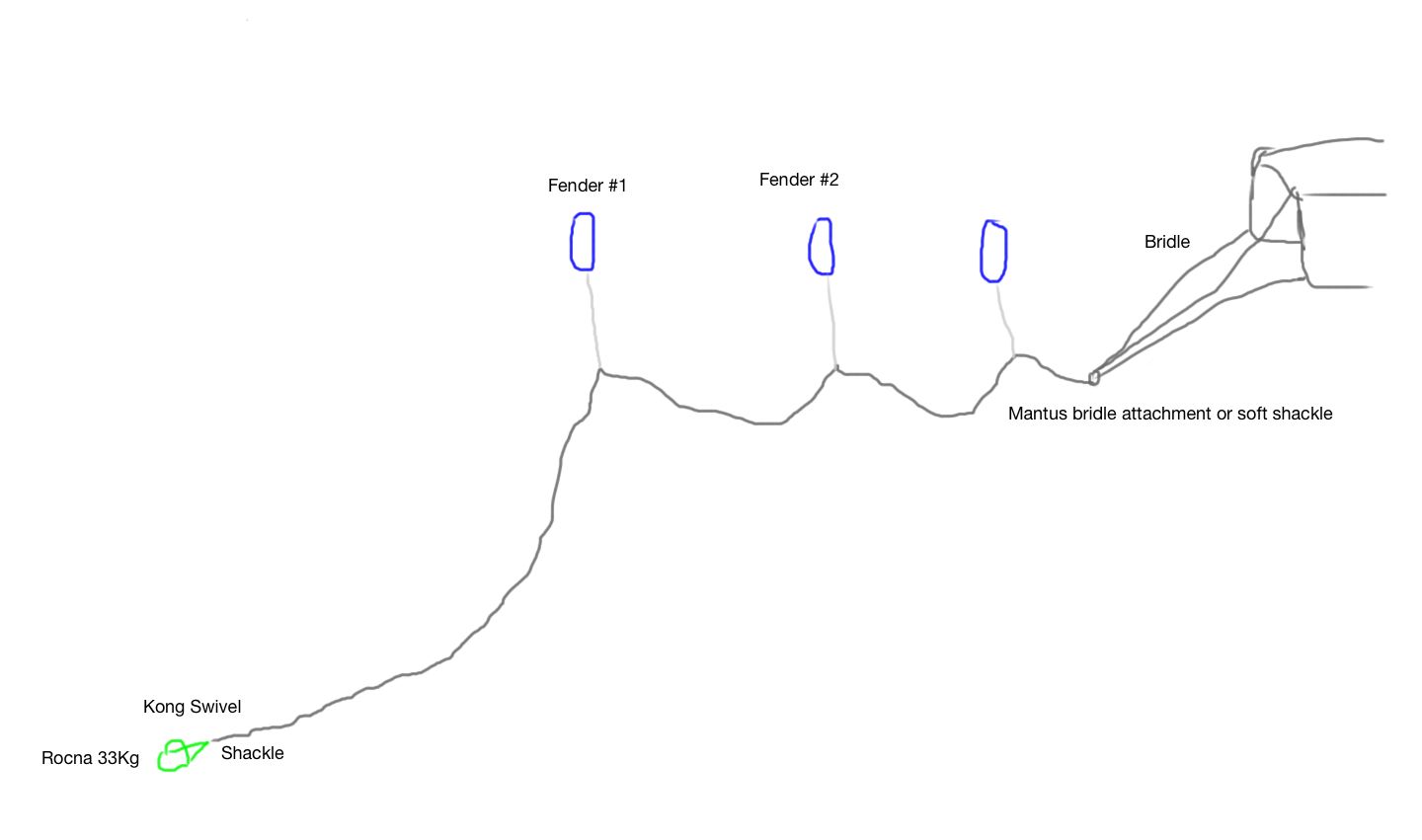
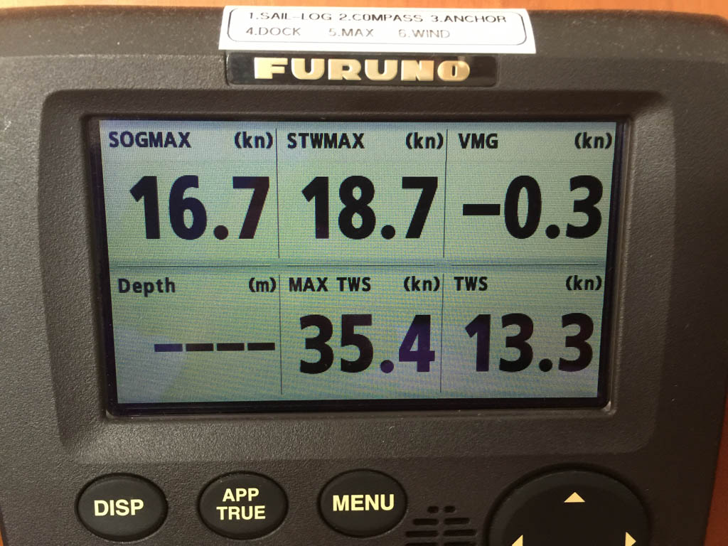
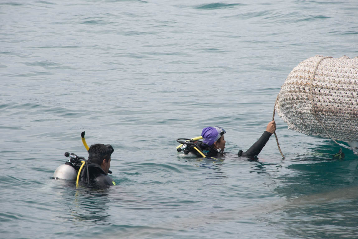
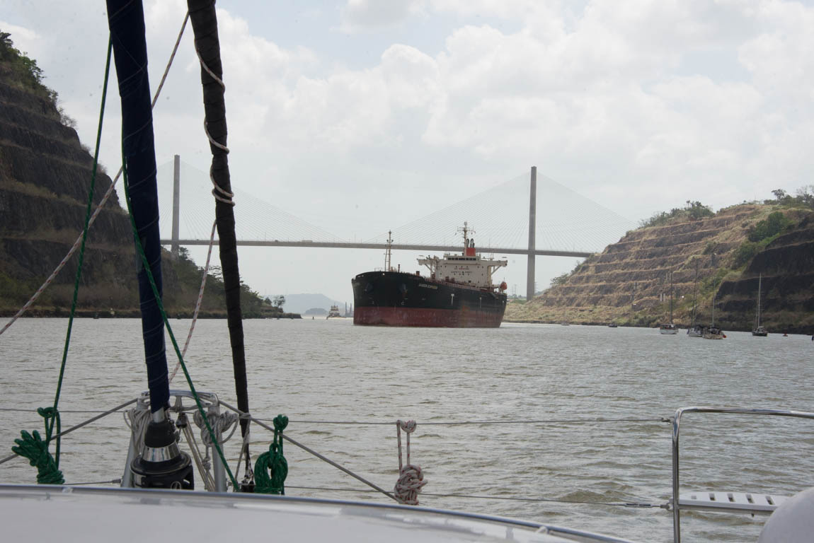
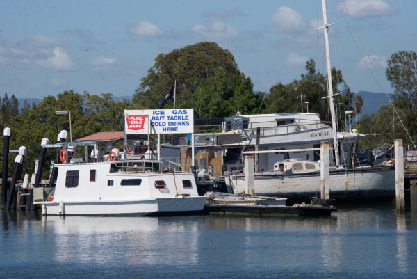
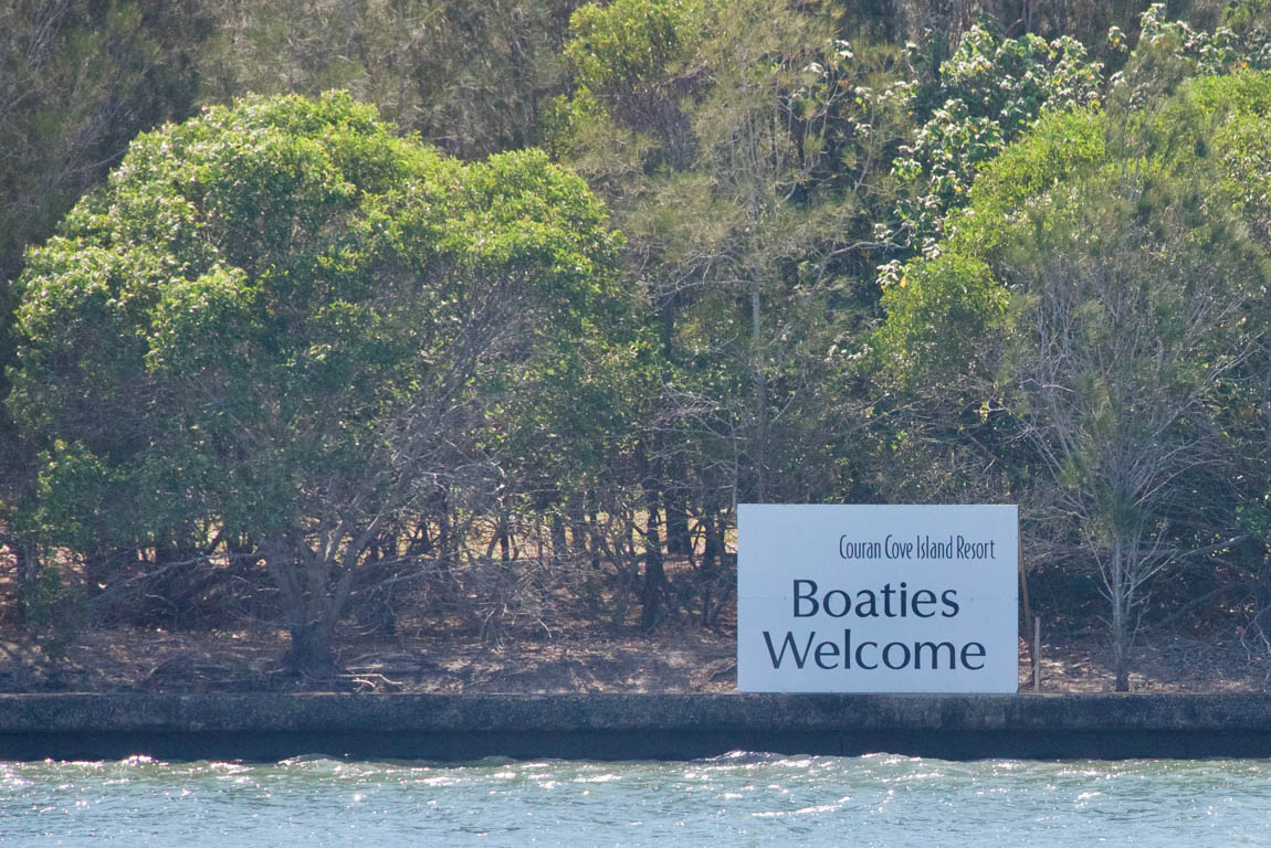
To enter sheltered rivers on the Australian East Coast, one must pass over a bar. These are sand bars, not bars that serve drinks with umbrellas. A bar can become a dangerous mess (Video of Catamaran Surfing into Southport) when volumes of water are returning to the sea while the breeze is blowing onto the shoreline. In preparation for our trip South, I researched bar crossings. The guides offered the ominous tip that when you are in a dangerous bar you should never turn around – just keep going. Gail found online cameras to monitor these bars. The cruising guide also rates the bars almost like a ski resort rates their trails in degree of difficulty. I plotted our potential duck-in entrances from bad weather, while triangulating the chance that the bar may become impassible. By the end of my efforts I was confused and over-prepared. Australian officialdom posts many signs near the waterways warning of the dangers of bar crossings, which did little to calm Gail’s nerves.

Proper Lookout
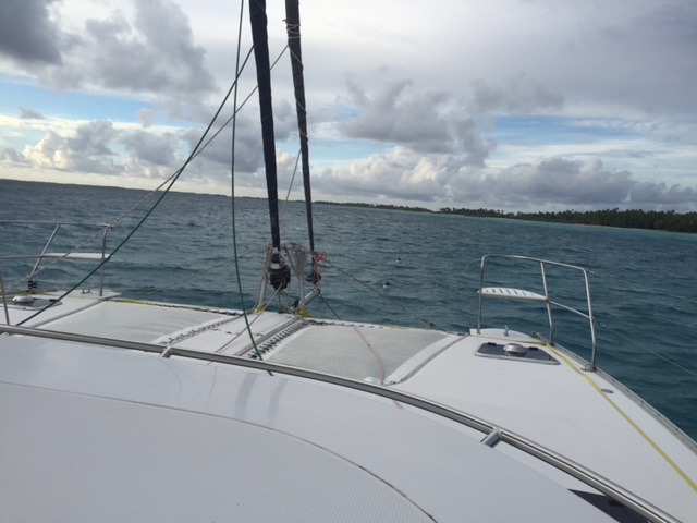
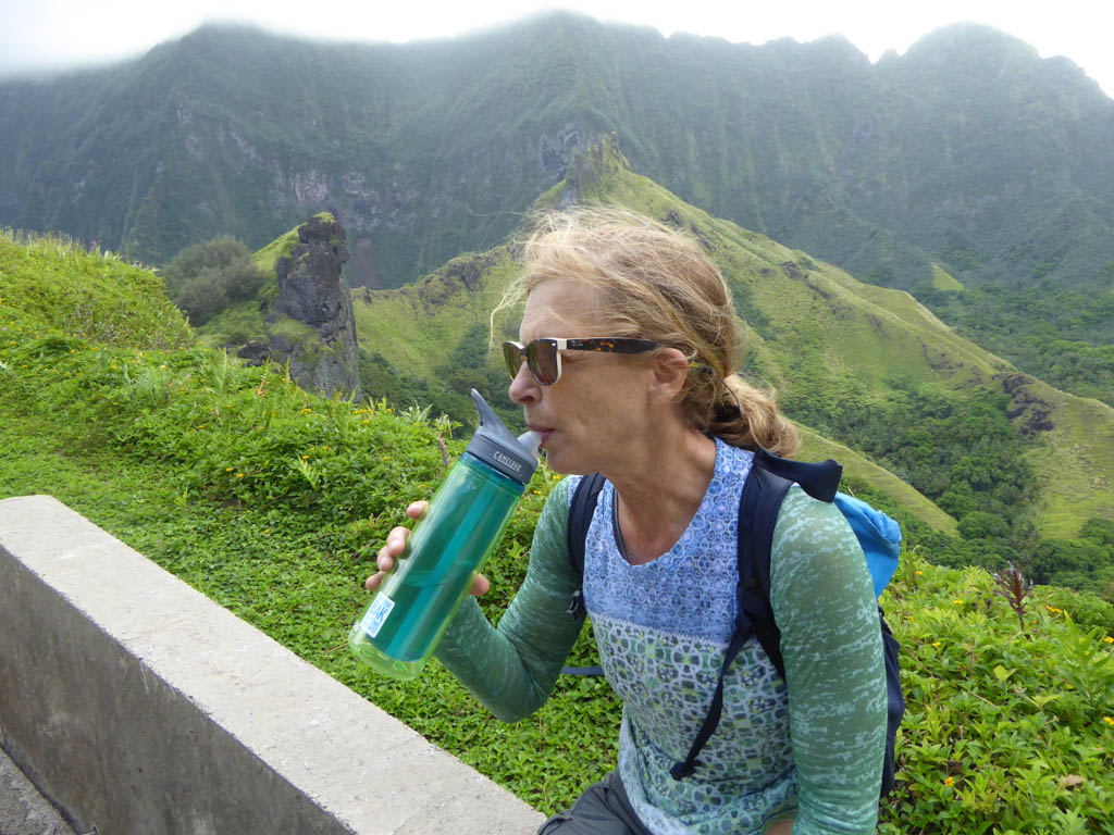
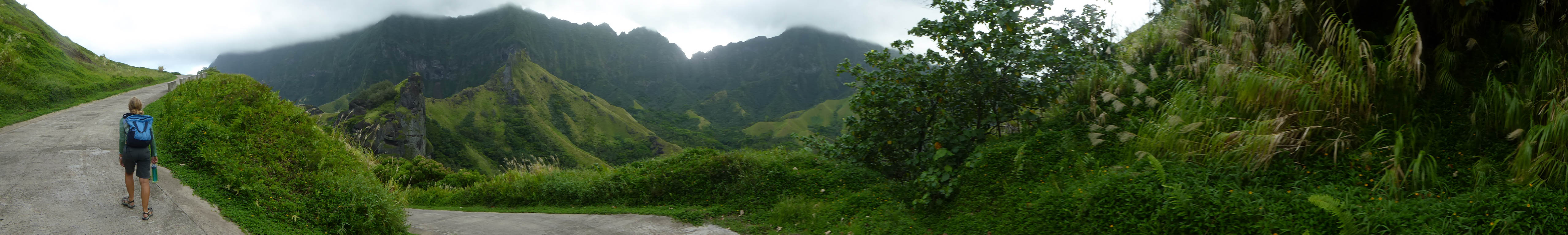
There are two possible routes to Sydney from Moreton Bay. The first is to exit to the north, a longer but easier to navigate route. The second is to head south into a delta area with shallow spots and low power lines. We chose the more difficult second option since this path allowed us to explore backwaters. Power lines and sailboats are a poor mix as evidenced by warning stickers often found on masts. So I scoured all the data to see if Two Fish could safely navigate under the power lines. The older cruising guides listed the wires at 23 meters, but a more recent document lowered the measurement to 20.3 meters, offering us only 1.5 meters of clearance. In the USA, the power lines are much higher to prevent the power from arcing from the power lines onto the metal boat mast. I suppose the Australian electrical engineers do not see arcing voltage as a serious problem. A few drunks at the yacht club bar assured me “it was no problem mate” and that was enough reassurance for me. As we passed under the wires, Gail was quick to remind me not to hold onto anything metal. I steered the boat close to the power line tower and traveled at low tide to get the maximum distance between our masthead fly and the high voltage lines. The boat did not smolder, but we were now in dangerously shallow water. A quick turn got us back into the channel. We were now free to explore the Delta which was reminiscent of the Carolinas. Fish camps, small fuel stations, and tall reeds contributed to the Carolina look.
-
- Carolina Backwaters?

-
- Jogging the delta

-

- “Finished” the menu
-
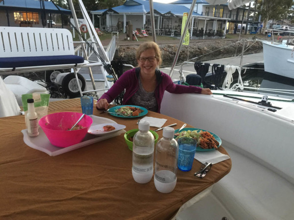
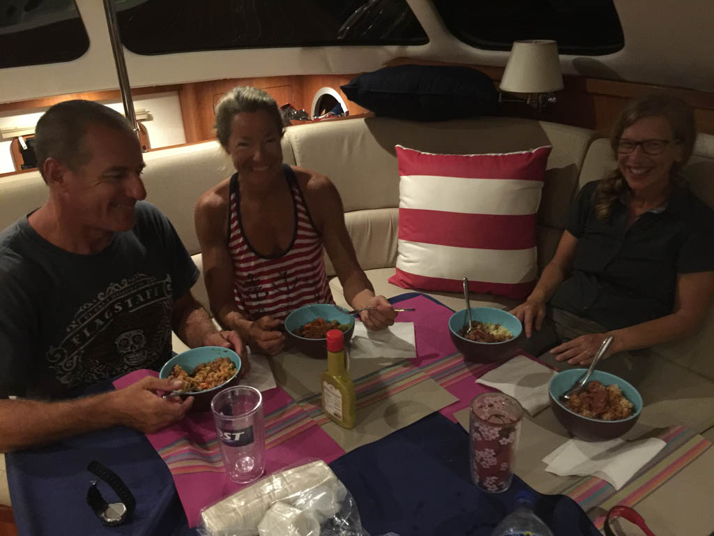
- Dinner on board

-
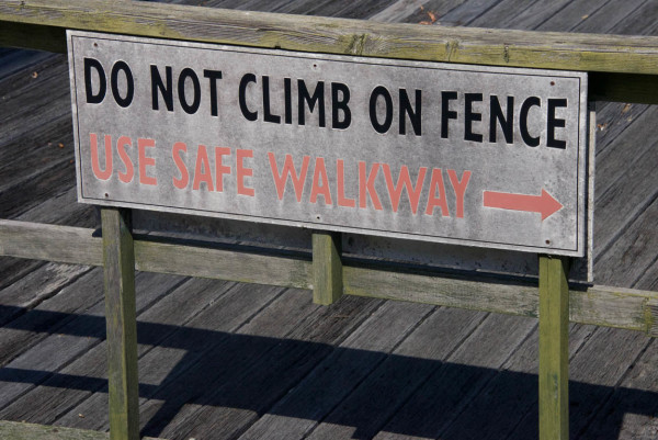
- Safety conscious Australia

-
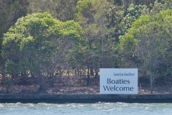
- Again with adding “ies”
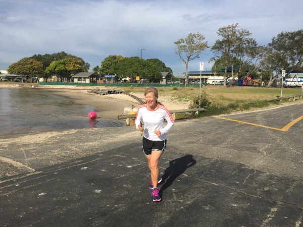
We tied up in a small marina and became local celebrities. Two Fish was huge compared to the local runabouts and consumed a slip meant for two boats. We spent the mornings jogging past corn fields and fish farms. I met a twenty-five year old guy who had bought his first motor trawler. It was wood and an old salt was offering him advice on anchoring, boat repair and docking. His eyes were wide open and I felt sympathy and jealousy for all the new surprises headed his way.
Beautiful Anchorage
After sailing for over three years, we are no longer complete idiots, just partial idiots. And with that extra salt in the veins comes some amount of wisdom. I don’t claim to have discovered the meaning of life unlike other sailboat bloggers. I disagree with their opinion that world peace would occur if everyone was living on a sailboat. Judging by some VHF radio chats I think world war might come sooner with everyone afloat? Imagine if Kim Jung Un dragged anchor through a crowded harbor. I suspect his admonishment would be harsher than he gets firing missiles into the ocean. What has changed with the passage of sea miles is that cruising gets easier. A pump wears out and an hour later, with little drama, the pump is replaced. When we are about to execute a complex maneuver, we talk it through and it goes smoothly. We know how to manage bad weather and we know how to do more of what we enjoy. For us year three has been a joy.
We left Steiglitz after exhausting the restaurant’s menu. When I arrive at a new port, I am full of excitement and optimism. We tend to leave when that feeling has been pushed aside with an annoyance. In Steiglitz, the birds were my nemesis. We were tied up beside a large tree which was home to many competing birds. At dusk they would create a collection of evil cackles that drove us inside to seek shelter. The birds also left calling cards on the deck that looked like melba toast. The birds pushed us out of town and farther down the delta.
-
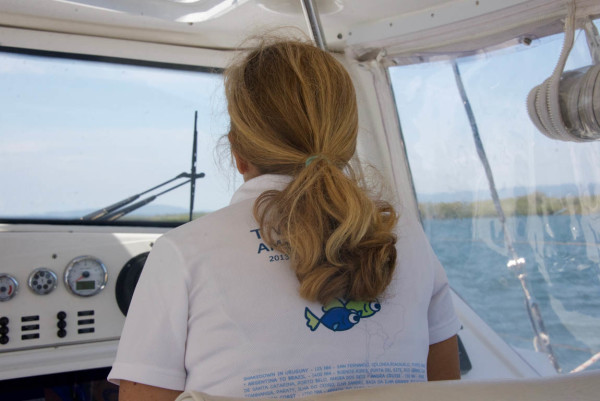
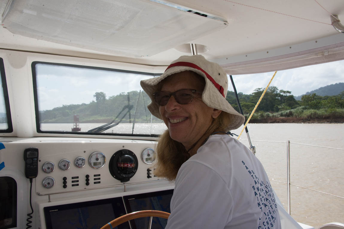
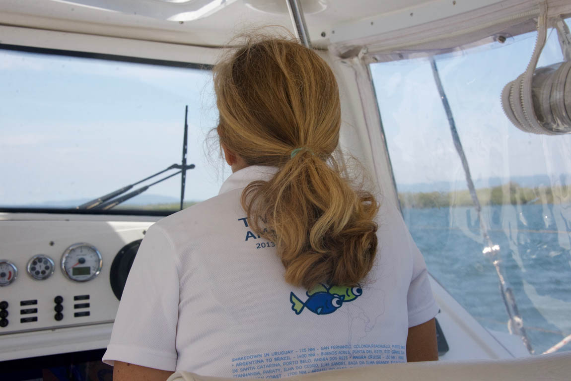
- Gail helming
-
- Is that enough space?
-
- Gail working the foredeck

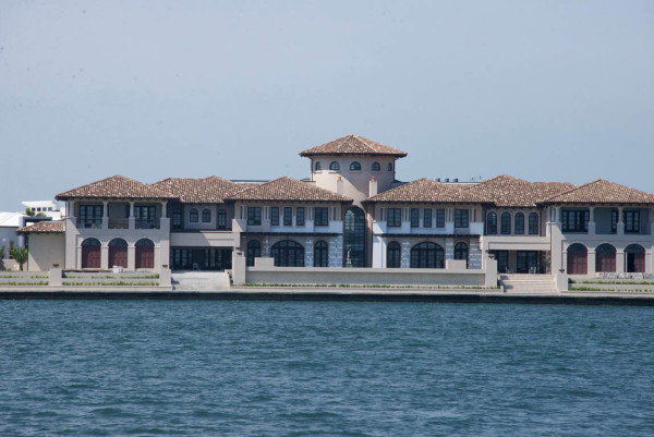
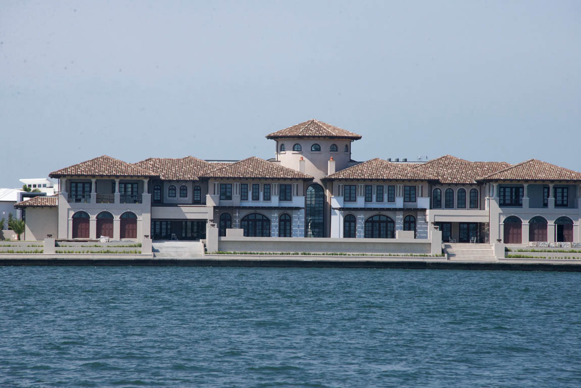
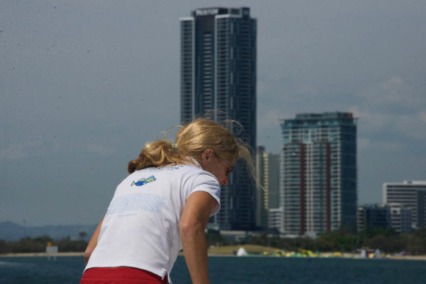
As we headed farther south the scenery changed from swampy marsh to huge homes that must be either owned by sports stars or used in a reality TV show. We had reached Southport, the center of Australia’s Gold Coast. The farms were replaced with glitz; there were towns with dreamy names like Surfer’s Paradise and many places vying for your money in exchange for sunnies and thongs(sunglass and flip flops). Our host for a few days was a power boating club whose members showed up in great numbers for club dinners. A box style gambling scheme arranged by the club was very popular with the members. The winner took home thousands of dollars. The friendly boats sharing our dock also shared some great suggestions for our coastal journey.
Southport looks a lot like Broward County in Florida. This is not by coincidence; the developers had been inspired by the canal construction in South Florida. However, after the first bit of construction on the Gold Coast, the canals turned green with fetid water. A few Florida engineers were flown to Australia to make modifications to the drainage and construction and the canals turned blue.
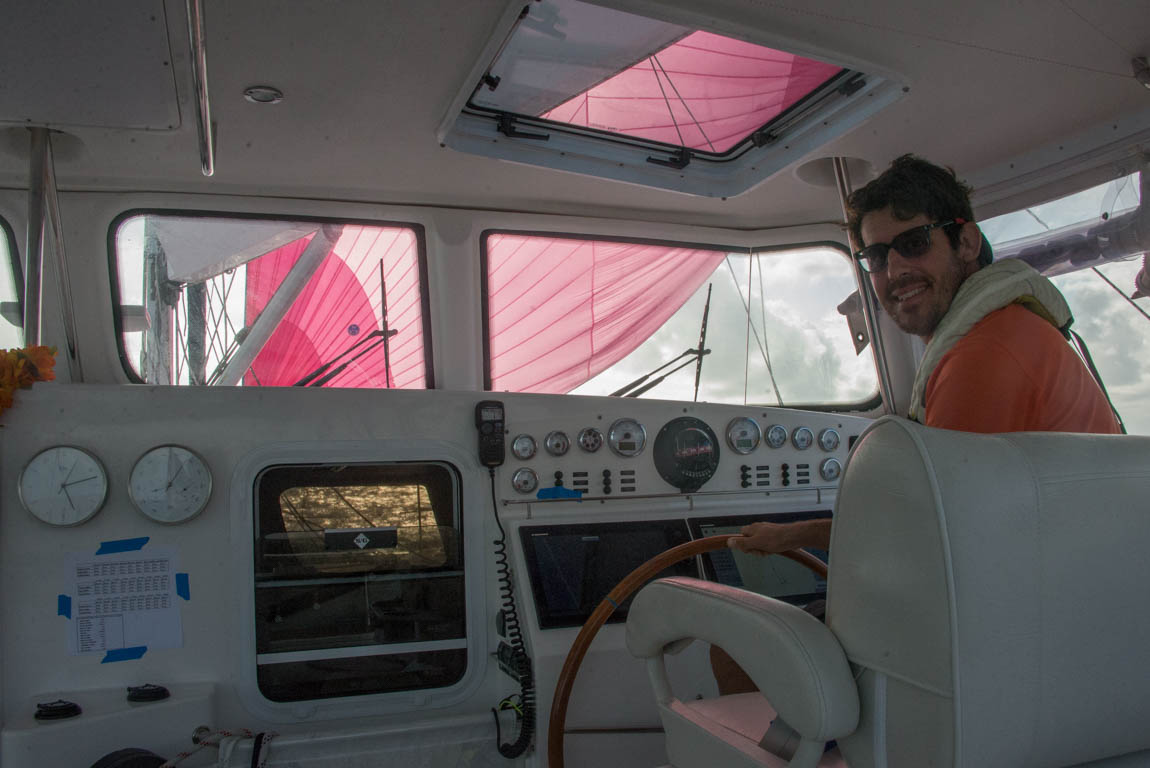
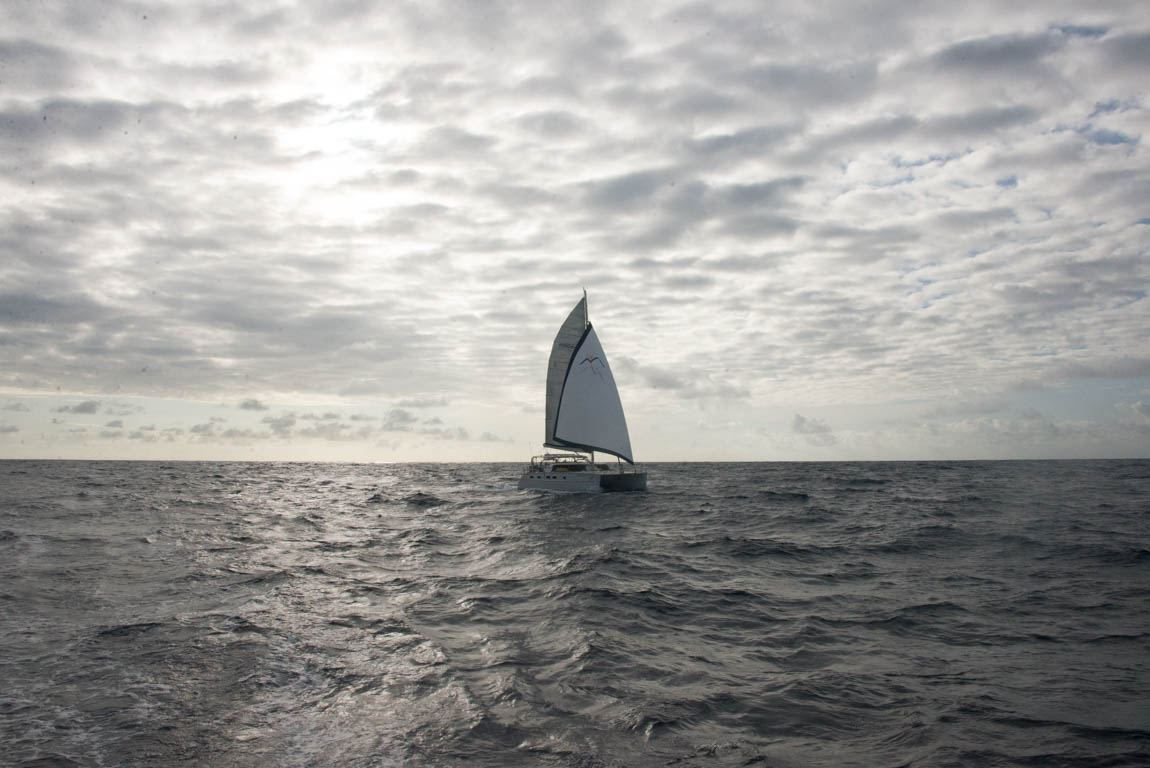
We had reached the end of the sheltered route; our next steps would be in the ocean.